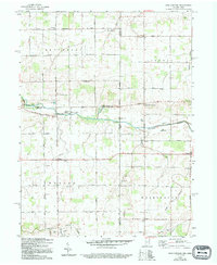
1960 Map of New Corydon
USGS Topo · Published 1994About this map
The Wabash River flows across this boundary land where the Indiana and Ohio state lines converge. The rural landscape is defined by a dense grid of section roads, including Koch Road and Oregon Road, connecting small agricultural centers like New Corydon and Jay City. Notable for local historians, the area is dotted with early community landmarks such as Jefferson Sch, Mt Carmel Ch, and the St Marys Ch.
Find a feature on this map
51 named features on this map. Tap any name to fly to it.
Don’t see what you’re looking for? This feature index may not catch every label — zoom into the map to look around manually.
Map Details
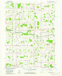
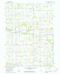
Editions of this 1960 New Corydon Map
Other maps of this area

1908 · St. Henry
USGS Topo · 1:62,500

1911 · Berne
USGS Topo · 1:48,000

1914 · Celina
USGS Topo · 1:62,500

1915 · Fort Recovery
USGS Topo · 1:48,000

1918 · Fort Recovery
USGS Topo · 1:62,500

1944 · Celina
USGS Topo · 1:62,500

1953 · Muncie
USGS Topo · 1:250,000

1956 · Muncie
USGS Topo · 1:250,000

1960 · Fort Recovery
USGS Topo · 1:24,000
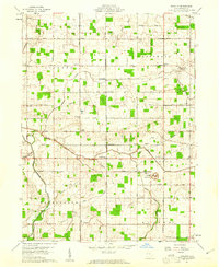
1960 · Erastus
USGS Topo · 1:24,000