
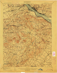
1906 Map of New Cumberland
USGS Topo · Published 1906About this map
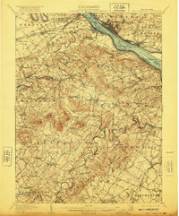
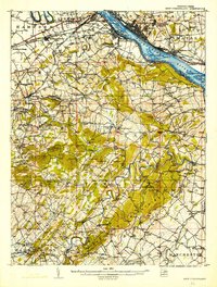
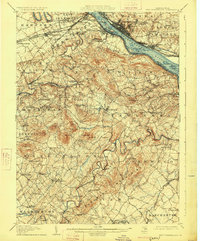
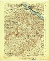
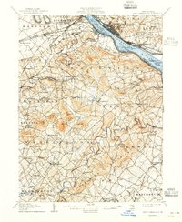
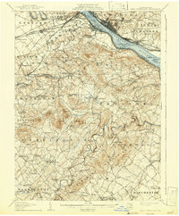
The Susquehanna River serves as the industrial and transportation corridor for this region, bordered by the bustling centers of Harrisburg and Steelton. Along the eastern bank, the legacy of nineteenth-century infrastructure is visible in the Pennsylvania Canal (Abandoned) Philadelphia Division, which mirrors the paths of the Northern Central RR and the Baltimore Division. River crossings and transit points like Middletown Ferry and Spades Wharf emphasize the importance of water-based commerce before the total dominance of the rail networks.
Find a feature on this map
123 named features on this map. Tap any name to fly to it.
Don’t see what you’re looking for? This feature index may not catch every label — zoom into the map to look around manually.
Map Details
Editions of this 1906 New Cumberland Map
8 editions found
Other maps of this area

1892 · Hummelstown
USGS Topo · 1:62,500

1892 · Harrisburg
USGS Topo · 1:62,500

1899 · Harrisburg
USGS Topo · 1:62,500

1904 · Carlisle
USGS Topo · 1:62,500

1907 · New Bloomfield
USGS Topo · 1:62,500

1908 · Middletown
USGS Topo · 1:62,500

1908 · Gettysburg
USGS Topo · 1:62,500

1908 · York
USGS Topo · 1:62,500

1910 · York
USGS Topo · 1:62,500

1920 · Hanover
USGS Topo · 1:62,500