
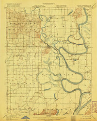
1906 Map of New Haven
USGS Topo · Published 1906About this map
The Little Wabash River meanders toward its confluence with the Wabash River in this 1906 survey of the Illinois and Indiana borderlands. The settlement of New Haven occupies a strategic bend in the river, surrounded by a complex network of wetlands including Goosepond Swamp, Fishpond Swamp, and Yellowbank Slough. This landscape reveals the intricate hydrologic patterns of the era, where the river's path is defined by features like Winners Bend and the Little Chain Cutoff.
Find a feature on this map
55 named features on this map. Tap any name to fly to it.
Don’t see what you’re looking for? This feature index may not catch every label — zoom into the map to look around manually.
Map Details
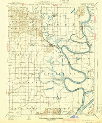
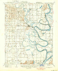
Editions of this 1906 New Haven Map
4 editions found
Other maps of this area

1903 · New Harmony
USGS Topo · 1:62,500

1903 · Patoka
USGS Topo · 1:125,000

1905 · Eldorado
USGS Topo · 1:62,500

1905 · New Haven
USGS Topo · 1:62,500

1906 · Eldorado
USGS Topo · 1:62,500

1907 · Morganfield
USGS Topo · 1:62,500

1916 · Shawneetown
USGS Topo · 1:62,500

1916 · Equality
USGS Topo · 1:62,500

1917 · Uniontown
USGS Topo · 1:62,500

1938 · New Harmony
USGS Topo · 1:62,500