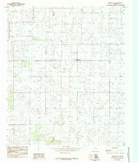
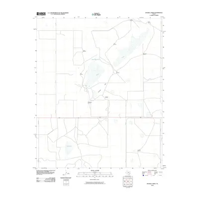
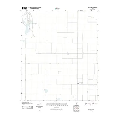
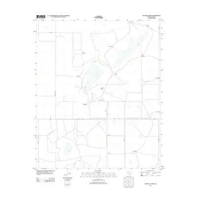
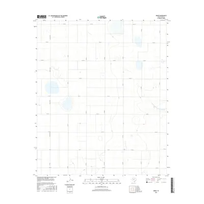
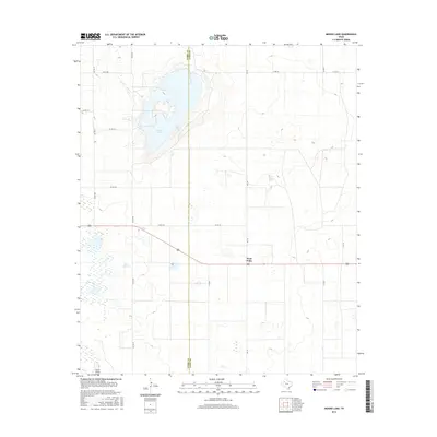
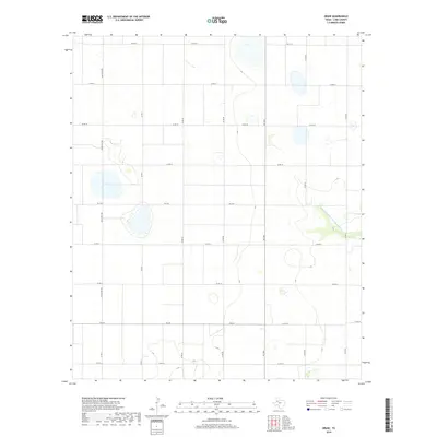
1976 Map of New Home SW
USGS Topo · Published 1981About this map
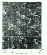
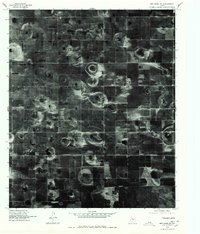
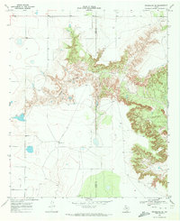
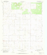
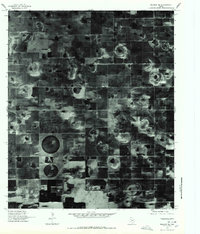
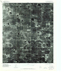
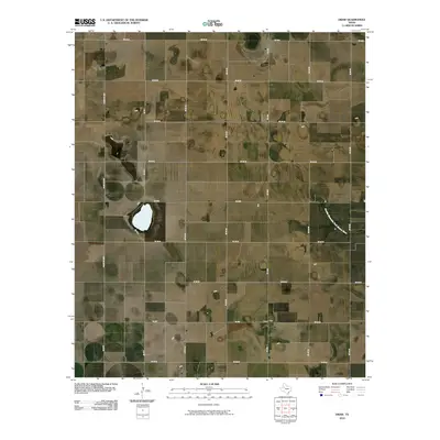
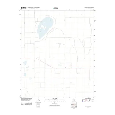
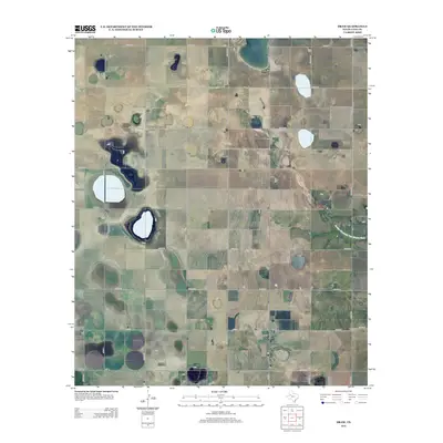
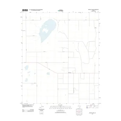
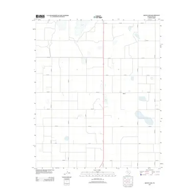
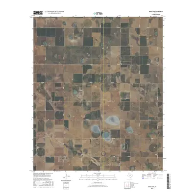
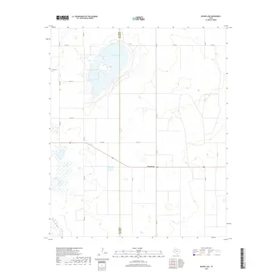
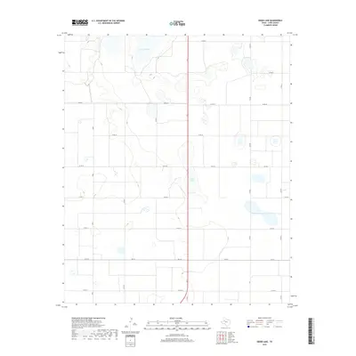
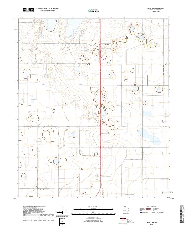
The agricultural grid of the Texas South Plains is sharply defined in this 1976 orthophotograph, centered on the community of New Home. This specialized imagery captures the circular patterns of center-pivot irrigation and the distinctive playa lakes that dot the high plains landscape. These ephemeral wetlands appear as dark, irregular basins within the structured fields of Lynn County, illustrating the environmental conditions of the Llano Estacado. To the southwest, the small settlement of Petty sits at a rural crossroads, surrounded by the wide-open cultivated acreage that defines the region's cotton and grain production. The map provides a rare visual record of land use and farmstead placement during the mid-1970s, before modern development further altered the rural footprint.
Find a feature on this map
2 named features on this map. Tap any name to fly to it.
Don’t see what you’re looking for? This feature index may not catch every label — zoom into the map to look around manually.
Map Details
Editions of this 1976 New Home SW Map
2 editions found
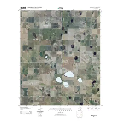
Historical Maps of New Home Through Time
75 maps found
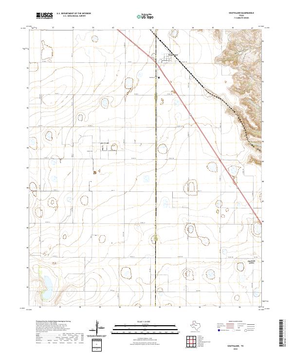
1965 Southland
Lynn County, TX
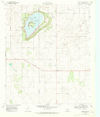
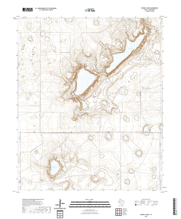
1969 Double Lakes
Lynn County, TX
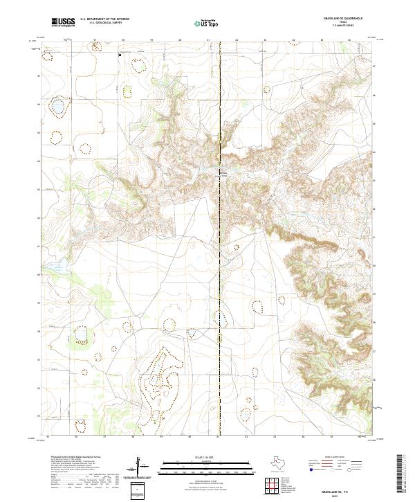
1969 Grassland SE
Lynn County, TX
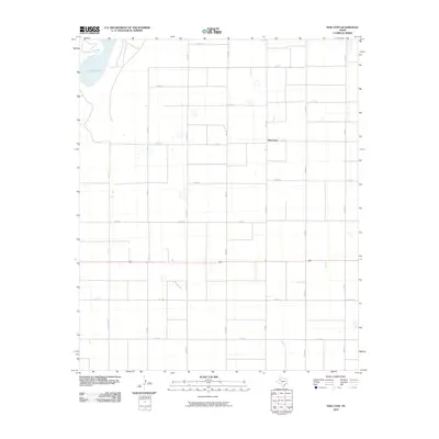
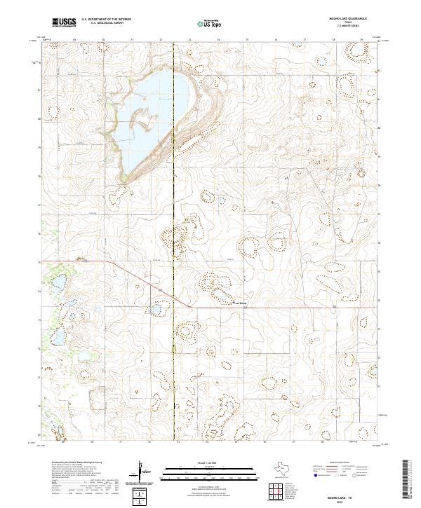
1969 Mound Lake
Lynn County, TX
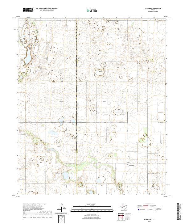
1969 New Moore
Lynn County, TX
1969 Skeen Lake
Lynn County, TX
1969 Tahoka SW
Lynn County, TX
1970 Draw
Lynn County, TX
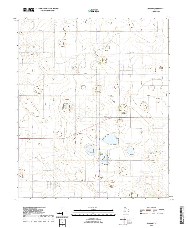
1970 Grassland
Lynn County, TX
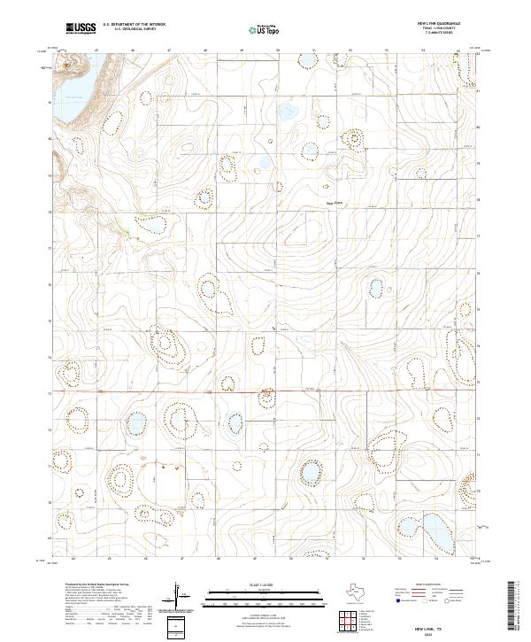
1970 New Lynn
Lynn County, TX
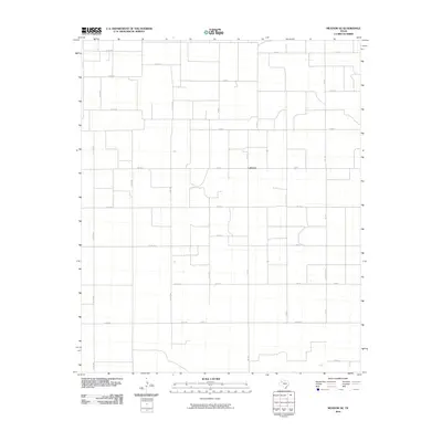
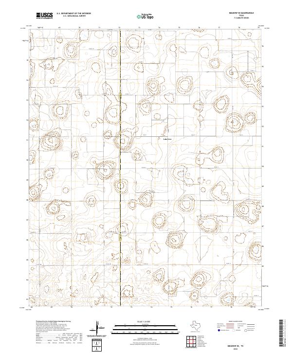
1976 Meadow SE
Lynn County, TX
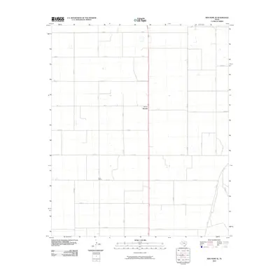
1976 New Home SE
Lynn County, TX
1976 New Home SW
Lynn County, TX
1985 Meadow SE
Lynn County, TX
1985 New Home SE
Lynn County, TX
2010 Double Lakes
Lynn County, TX
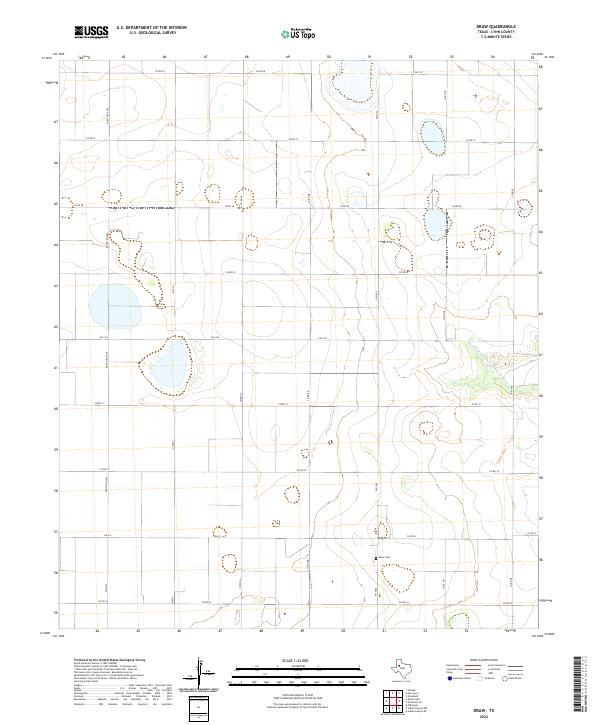
2010 Draw
Lynn County, TX
2010 Grassland
Lynn County, TX
2010 Grassland SE
Lynn County, TX
2010 Meadow SE
Lynn County, TX
2010 Mound Lake
Lynn County, TX
2010 New Home SE
Lynn County, TX
2010 New Lynn
Lynn County, TX
2010 New Moore
Lynn County, TX
2010 Skeen Lake
Lynn County, TX
2010 Southland
Lynn County, TX
2010 Tahoka SW
Lynn County, TX
2012 Double Lakes
Lynn County, TX
2012 Draw
Lynn County, TX
2012 Grassland
Lynn County, TX

2012 Grassland SE
Lynn County, TX
2012 Meadow SE
Lynn County, TX
2012 Mound Lake
Lynn County, TX
2012 New Home SE
Lynn County, TX
2012 New Lynn
Lynn County, TX
2012 New Moore
Lynn County, TX
2012 Skeen Lake
Lynn County, TX
2012 Southland
Lynn County, TX
2012 Tahoka SW
Lynn County, TX
2016 Double Lakes
Lynn County, TX
2016 Draw
Lynn County, TX
2016 Grassland
Lynn County, TX
2016 Grassland SE
Lynn County, TX
2016 Meadow SE
Lynn County, TX
2016 Mound Lake
Lynn County, TX
2016 New Home SE
Lynn County, TX
2016 New Lynn
Lynn County, TX
2016 New Moore
Lynn County, TX
2016 Skeen Lake
Lynn County, TX
2016 Southland
Lynn County, TX
2016 Tahoka SW
Lynn County, TX
2019 Double Lakes
Lynn County, TX
2019 Draw
Lynn County, TX
2019 Grassland
Lynn County, TX
2019 Grassland SE
Lynn County, TX
2019 Meadow SE
Lynn County, TX
2019 Mound Lake
Lynn County, TX
2019 New Home SE
Lynn County, TX
2019 New Lynn
Lynn County, TX
2019 New Moore
Lynn County, TX
2019 Skeen Lake
Lynn County, TX
2019 Southland
Lynn County, TX
2019 Tahoka SW
Lynn County, TX
2022 Double Lakes
Lynn County, TX
2022 Draw
Lynn County, TX
2022 Grassland
Lynn County, TX
2022 Grassland SE
Lynn County, TX
2022 Meadow SE
Lynn County, TX
2022 Mound Lake
Lynn County, TX
2022 New Home SE
Lynn County, TX
2022 New Lynn
Lynn County, TX
2022 New Moore
Lynn County, TX
2022 Skeen Lake
Lynn County, TX
2022 Southland
Lynn County, TX

2022 Tahoka SW
Lynn County, TX