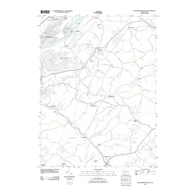
2010 Map of New Kensington East
USGS Topo · Published 2010About this map
The Allegheny River corridor defines the industrial and residential character of this region northeast of Pittsburgh. Heavy industry and infrastructure are centered near the water, highlighted by Dam Number Four and the riverside communities of Natrona, Brackenridge, and Edgecliff. The map illustrates the expansion of local services and industry away from the riverbank, including the Alcoa Technical Center and the Penn State University-New Kensington Campus.
Find a feature on this map
53 named features on this map. Tap any name to fly to it.
Don’t see what you’re looking for? This feature index may not catch every label — zoom into the map to look around manually.
Map Details
Editions of this 2010 New Kensington East Map
This is the sole edition of this map. No revisions or reprints were ever made.
Other maps of this area

1904 · Mc Keesport
USGS Topo · 1:62,500
1904 · Greensburg
USGS Topo · 1:62,500
1906 · Greensburg
USGS Topo · 1:62,500

1907 · Pittsburg
USGS Topo · 1:62,500
1907 · Freeport
USGS Topo · 1:62,500
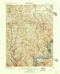
1908 · New Kensington
USGS Topo · 1:62,500
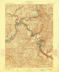
1909 · Freeport
USGS Topo · 1:62,500
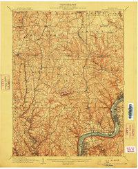
1910 · New Kensington
USGS Topo · 1:62,500

1953 · Pittsburgh
USGS Topo · 1:250,000
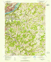
1953 · New Kensington East
USGS Topo · 1:24,000