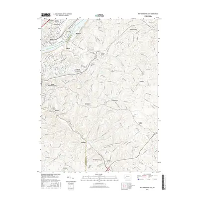
2016 Map of New Kensington East
USGS Topo · Published 2016About this map
The Allegheny River and its industrial corridor dominate the northwestern edge of this area, where the Allegheny Valley RR serves established riverfront communities like Brackenridge, Tarentum, and Natrona. Moving inland, the landscape transitions from these dense settlements into the more dispersed residential and institutional developments of Lower Burrell and New Kensington. This 2016 survey documents the footprint of the Pennsylvania State University-Penn State New Kensington campus and numerous established burial grounds, including Saint Marys Cem and Greenwood Memorial Park Cem, which reflect the long-standing community roots in this region.
Find a feature on this map
73 named features on this map. Tap any name to fly to it.
Don’t see what you’re looking for? This feature index may not catch every label — zoom into the map to look around manually.
Map Details
Editions of this 2016 New Kensington East Map
This is the sole edition of this map. No revisions or reprints were ever made.
Other maps of this area

1904 · Mc Keesport
USGS Topo · 1:62,500

1904 · Greensburg
USGS Topo · 1:62,500

1906 · Greensburg
USGS Topo · 1:62,500

1907 · Pittsburg
USGS Topo · 1:62,500

1907 · Freeport
USGS Topo · 1:62,500

1908 · New Kensington
USGS Topo · 1:62,500

1909 · Freeport
USGS Topo · 1:62,500

1910 · New Kensington
USGS Topo · 1:62,500

1953 · Pittsburgh
USGS Topo · 1:250,000

1953 · New Kensington East
USGS Topo · 1:24,000