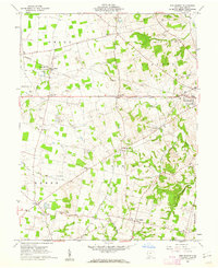
1960 Map of New Market
USGS Topo · Published 1962About this map
New Market and surrounding Highland County townships are mapped here in the early 1960s, revealing a landscape defined by small crossroad settlements and an extensive network of family cemeteries. The topography is shaped by the numerous forks of White Oak Creek and Rocky Fork, which carve through the terrain near landmarks like Calebs Hill and Pea Ridge. Large holdings such as the Oldaker State Wildlife Area sit alongside infrastructure like the Hillsboro Airport and the steel rails of the Baltimore and Ohio.
Find a feature on this map
54 named features on this map. Tap any name to fly to it.
Don’t see what you’re looking for? This feature index may not catch every label — zoom into the map to look around manually.
Map Details
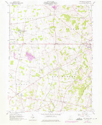
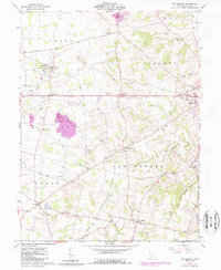
Editions of this 1960 New Market Map
3 editions found
Other maps of this area

1907 · Blanchester
USGS Topo · 1:62,500

1917 · Hillsboro
USGS Topo · 1:62,500

1917 · Sabina
USGS Topo · 1:62,500

1917 · Sardinia
USGS Topo · 1:62,500

1943 · Sabina
USGS Topo · 1:62,500

1944 · Hillsboro
USGS Topo · 1:62,500

1944 · Sardinia
USGS Topo · 1:62,500

1947 · Columbus
USGS Topo · 1:250,000
1960 · Lynchburg
USGS Topo · 1:24,000

1960 · Martinsville
USGS Topo · 1:24,000