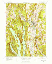
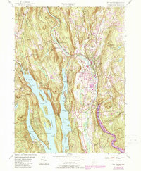
1955 Map of New Milford
USGS Topo · Published 1956About this map
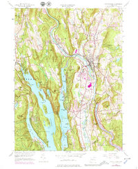
The Housatonic River serves as the central artery of this mid-century Connecticut landscape, winding past the village of New Milford and under the Boardman Bridge. This era of the 1950s shows the region’s complex water management system, including the extensive Lake Candlewood and the Shepaug Reservoir east of the main town. The interaction between industrial growth and recreation is evident in the presence of the New York New Haven and Hartford railroad lines alongside Squantz Pond State Park and Pootatuck State Forest. Cultural landmarks like the Canterbury Sch and New Milford High Sch anchor the local community, while numerous cemeteries such as Holy Cross Cem and Quaker Cem provide essential data for genealogists tracking family roots in Litchfield and Fairfield counties. The varied terrain, from Boardman Mtn to the many coves and points of the lake, illustrates a classic New England valley during its postwar development.
Find a feature on this map
119 named features on this map. Tap any name to fly to it.
Don’t see what you’re looking for? This feature index may not catch every label — zoom into the map to look around manually.
Map Details
Editions of this 1955 New Milford Map
9 editions found
Other maps of this area

1892 · Danbury
USGS Topo · 1:62,500

1892 · New Milford
USGS Topo · 1:62,500

1892 · Carmel
USGS Topo · 1:62,500

1893 · Carmel
USGS Topo · 1:62,500

1893 · New Milford
USGS Topo · 1:62,500

1893 · Clove
USGS Topo · 1:62,500

1894 · Clove
USGS Topo · 1:62,500

1894 · Carmel
USGS Topo · 1:62,500

1898 · Clove
USGS Topo · 1:62,500

1901 · Clove
USGS Topo · 1:62,500