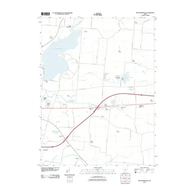
2010 Map of New Moorefield
USGS Topo · Published 2010About this map
Clarence J Brown Reservoir and its massive Clarence J Brown Dam dominate the northern landscape of this region northeast of Springfield. The map reveals a transition from the dense residential clusters of Garden Acres and Holiday Hills to the agricultural expanses and wooded tracts further east. Several small settlements like Harmony and Thorps are situated along major transit routes, while the Clark County Fairgrounds serves as a significant regional landmark.
Find a feature on this map
72 named features on this map. Tap any name to fly to it.
Don’t see what you’re looking for? This feature index may not catch every label — zoom into the map to look around manually.
Map Details
Editions of this 2010 New Moorefield Map
This is the sole edition of this map. No revisions or reprints were ever made.
Other maps of this area

1904 · Springfield
USGS Topo · 1:62,500

1906 · Springfield
USGS Topo · 1:62,500

1907 · South Charleston
USGS Topo · 1:62,500

1914 · St. Paris
USGS Topo · 1:62,500

1914 · Mechanicsburg
USGS Topo · 1:62,500

1916 · Mechanicsburg
USGS Topo · 1:62,500

1916 · St. Paris
USGS Topo · 1:62,500

1944 · Mechanicsburg
USGS Topo · 1:62,500

1944 · St. Paris
USGS Topo · 1:62,500

1947 · Columbus
USGS Topo · 1:250,000