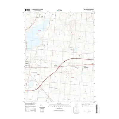
2013 Map of New Moorefield
USGS Topo · Published 2013About this map
Springfield and its northeastern rural environs are anchored by the expansive Clarence J Brown Reservoir, which defines the local topography alongside Buck Creek State Park. The landscape is a mix of developing residential pockets like Garden Acres and Holiday Hills and established agrarian tracts punctuated by numerous small family and community burial grounds. These sites, including Pleasant Hill Cem and Tuttle Cem, provide significant genealogical markers for the region. The map captures a transition between the urban edge and the quiet settlements of New Moorefield and Harmony. Cultural and recreational landmarks are prominently featured, from the Melody Cruise-In along E National Rd to the Clark County Fairgrounds, reflecting the community's mid-century and modern social hubs. Local aviation is represented by Kepes Flying Field Airport, while the northern reaches include distinctive terrain such as The Knobs.
Find a feature on this map
61 named features on this map. Tap any name to fly to it.
Don’t see what you’re looking for? This feature index may not catch every label — zoom into the map to look around manually.
Map Details
Editions of this 2013 New Moorefield Map
This is the sole edition of this map. No revisions or reprints were ever made.
Other maps of this area

1904 · Springfield
USGS Topo · 1:62,500

1906 · Springfield
USGS Topo · 1:62,500

1907 · South Charleston
USGS Topo · 1:62,500

1914 · St. Paris
USGS Topo · 1:62,500

1914 · Mechanicsburg
USGS Topo · 1:62,500

1916 · Mechanicsburg
USGS Topo · 1:62,500

1916 · St. Paris
USGS Topo · 1:62,500

1944 · Mechanicsburg
USGS Topo · 1:62,500

1944 · St. Paris
USGS Topo · 1:62,500

1947 · Columbus
USGS Topo · 1:250,000