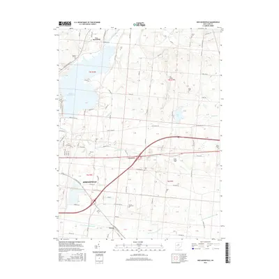
2016 Map of New Moorefield
USGS Topo · Published 2016About this map
Springfield anchors the southwestern portion of this landscape, where the urban edge gives way to the agricultural expanse of Clark County. The northeastern reaches of the city are defined by the Clarence J Brown Reservoir, a major water body fed by Buck Creek. This area illustrates a typical Midwestern transition from city streets to rural townships, with the village of New Moorefield situated just north of the reservoir and Harmony located further east along the highway corridor.
Find a feature on this map
87 named features on this map. Tap any name to fly to it.
Don’t see what you’re looking for? This feature index may not catch every label — zoom into the map to look around manually.
Map Details
Editions of this 2016 New Moorefield Map
This is the sole edition of this map. No revisions or reprints were ever made.
Other maps of this area

1904 · Springfield
USGS Topo · 1:62,500

1906 · Springfield
USGS Topo · 1:62,500

1907 · South Charleston
USGS Topo · 1:62,500

1914 · St. Paris
USGS Topo · 1:62,500

1914 · Mechanicsburg
USGS Topo · 1:62,500

1916 · Mechanicsburg
USGS Topo · 1:62,500

1916 · St. Paris
USGS Topo · 1:62,500

1944 · Mechanicsburg
USGS Topo · 1:62,500

1944 · St. Paris
USGS Topo · 1:62,500

1947 · Columbus
USGS Topo · 1:250,000