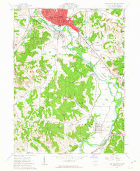
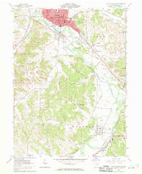
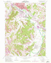
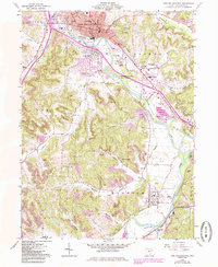
1962 Map of New Philadelphia
USGS Topo · Published 1963About this map
The Tuscarawas River carves a winding path through this early 1960s landscape, anchoring the industrial and civic development of New Philadelphia and its satellite communities. The city is a hub of mid-century infrastructure, featuring the Municipal Airport, the Courthouse, and recreational spaces like Tuscora Park. Evidence of the region's earlier transportation history is visible in the traces of the Ohio Canal (Aband), which parallels the river.
Find a feature on this map
67 named features on this map. Tap any name to fly to it.
Don’t see what you’re looking for? This feature index may not catch every label — zoom into the map to look around manually.
Map Details
Editions of this 1962 New Philadelphia Map
4 editions found
Other maps of this area

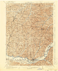
1909 · Uhrichsville
USGS Topo · 1:62,500

1911 · Uhrichsville
USGS Topo · 1:62,500

1911 · Newcomerstown
USGS Topo · 1:62,500

1912 · Dover
USGS Topo · 1:62,500
1913 · Newcomerstown
USGS Topo · 1:62,500

1914 · Navarre
USGS Topo · 1:62,500
1943 · Newcomerstown
USGS Topo · 1:62,500

1944 · Navarre
USGS Topo · 1:62,500

1944 · Dover
USGS Topo · 1:62,500

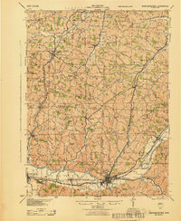
1951 · Canton
USGS Topo · 1:250,000