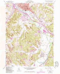
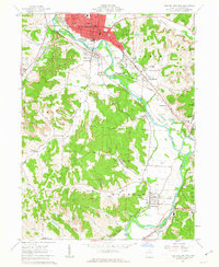
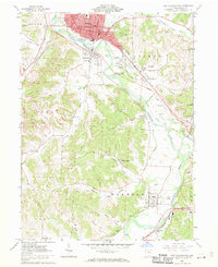
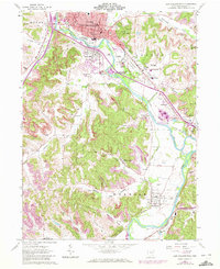
1962 Map of New Philadephia
USGS Topo · Published 1985About this map
The Tuscarawas River valley serves as the central artery for this mid-century portrait of Tuscarawas County, anchored by the seat at New Philadelphia. The map reveals a landscape defined by its industrial evolution, showing the path of the Ohio Canal (Aband) alongside modern infrastructure like Harry-Clever Field and the Baltimore and Ohio railroad. To the south, the historic Schoenbrunn Village State Memorial marks the site of early Moravian missionary efforts, while the surrounding hills are etched with strip mines and claypits, particularly near Wainwright and Tuscarawas. The transition from river-bottom farming to resource extraction is evident in the numerous family-named valleys like Lanes Valley and Fox Valley. Genealogists will find many rural landmarks, including the St Peters Ch and Mud Run Cem, which document the settlement patterns established long before the 1960s photogrammetric survey.
Find a feature on this map
69 named features on this map. Tap any name to fly to it.
Don’t see what you’re looking for? This feature index may not catch every label — zoom into the map to look around manually.
Map Details
Editions of this 1962 New Philadephia Map
4 editions found
Other maps of this area

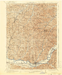
1909 · Uhrichsville
USGS Topo · 1:62,500

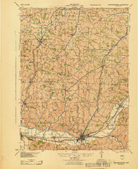
1911 · Uhrichsville
USGS Topo · 1:62,500

1911 · Newcomerstown
USGS Topo · 1:62,500

1912 · Dover
USGS Topo · 1:62,500
1913 · Newcomerstown
USGS Topo · 1:62,500

1914 · Navarre
USGS Topo · 1:62,500
1943 · Newcomerstown
USGS Topo · 1:62,500

1944 · Navarre
USGS Topo · 1:62,500

1944 · Dover
USGS Topo · 1:62,500

1951 · Canton
USGS Topo · 1:250,000