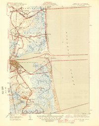
1945 Map of Newburyport East
USGS Topo · Published 1945About this map
Newburyport and its coastal neighbors are captured here in a 1942 survey that details the complex shoreline of the Merrimack River estuary just before the mid-century. The landscape is a intricate network of salt marshes, tidal creeks like Plum Island River and Black Rocks Creek, and the long barrier of Plum Island. Significant local landmarks from this era include the Newburyport LH (lighthouse) at Joppa, a Coast Guard Sta, and a CCC Camp situated near Salisbury. The settlement pattern reflects deep roots, showing the transition from the developed streets of the city to the older clusters at Newbury Old Town and the fishing community at Rings Island. Cultural sites are well-represented, from the Star of the Sea Chapel on Salisbury Beach to various family and community burial grounds such as Long Hill Cem and Newbury Neck Cem.
Find a feature on this map
56 named features on this map. Tap any name to fly to it.
Don’t see what you’re looking for? This feature index may not catch every label — zoom into the map to look around manually.
Map Details
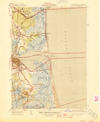
Editions of this 1945 Newburyport East Map
2 editions found
Other maps of this area

1886 · Gloucester
USGS Topo · 1:62,500

1888 · Newburyport
USGS Topo · 1:62,500

1888 · Gloucester
USGS Topo · 1:62,500

1888 · Salem
USGS Topo · 1:62,500

1890 · Newburyport
USGS Topo · 1:62,500

1893 · Salem
USGS Topo · 1:62,500

1893 · Gloucester
USGS Topo · 1:62,500

1894 · Newburyport
USGS Topo · 1:62,500

1917 · Salem
USGS Topo · 1:62,500

1918 · Gloucester
USGS Topo · 1:62,500