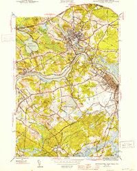
1944 Map of Newburyport West
USGS Topo · Published 1944About this map
The Merrimac River carves a deep path through the landscape of the Massachusetts-New Hampshire border, anchoring the industrial and residential development of Amesbury and Newburyport during the mid-1940s. The map captures a period where traditional riverfront settlements like Merrimacport and Salisbury Point remained distinct hubs, connected by the Boston and Maine Railroad. Significant institutional presence is noted at the Anna Jacques Hospital and Worcester Mem Hosp, while the interior is marked by numerous family and community burial grounds, including Mt Prospect Cem and the Lower Corner Cem.
Find a feature on this map
75 named features on this map. Tap any name to fly to it.
Don’t see what you’re looking for? This feature index may not catch every label — zoom into the map to look around manually.
Map Details
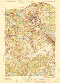
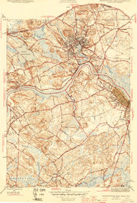
Editions of this 1944 Newburyport West Map
3 editions found
Other maps of this area

1886 · Lawrence
USGS Topo · 1:62,500

1888 · Newburyport
USGS Topo · 1:62,500

1888 · Haverhill
USGS Topo · 1:62,500

1888 · Lawrence
USGS Topo · 1:62,500

1888 · Salem
USGS Topo · 1:62,500

1890 · Haverhill
USGS Topo · 1:62,500

1890 · Newburyport
USGS Topo · 1:62,500

1893 · Salem
USGS Topo · 1:62,500

1893 · Lawrence
USGS Topo · 1:62,500

1893 · Haverhill
USGS Topo · 1:62,500