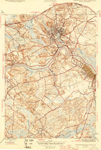
1944 Map of Newburyport West
USGS Topo · Published 1944About this map
Amesbury and Newburyport serve as the primary anchors for this 1944 survey, centered on the winding course of the Merrimack River. The landscape reveals a dense network of river-oriented settlements, including Merrimacport and Salisbury Point, where the built environment reflects centuries of maritime and industrial development. The terrain is marked by numerous glacial drumlins such as Powow Hill and Crane Neck Hill, which rise above the wetlands and smaller water bodies like Lake Attitash and Lake Gardner.
Find a feature on this map
57 named features on this map. Tap any name to fly to it.
Don’t see what you’re looking for? This feature index may not catch every label — zoom into the map to look around manually.
Map Details
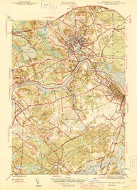
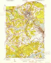
Editions of this 1944 Newburyport West Map
3 editions found
Other maps of this area

1886 · Lawrence
USGS Topo · 1:62,500

1888 · Newburyport
USGS Topo · 1:62,500

1888 · Haverhill
USGS Topo · 1:62,500

1888 · Lawrence
USGS Topo · 1:62,500

1888 · Salem
USGS Topo · 1:62,500

1890 · Haverhill
USGS Topo · 1:62,500

1890 · Newburyport
USGS Topo · 1:62,500

1893 · Salem
USGS Topo · 1:62,500

1893 · Lawrence
USGS Topo · 1:62,500

1893 · Haverhill
USGS Topo · 1:62,500