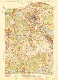
1944 Map of Newburyport West
USGS Topo · Published 1944About this map
The Merrimack River serves as the central artery for this 1944 portrait of the Massachusetts-New Hampshire borderlands, where industrial centers and rural hills meet. The map reveals the dense street grids of Amesbury and Newburyport during the Second World War, showing the proximity of the Boston and Maine Railroad to the waterfront. Between these hubs, the landscape is defined by family-named landmarks like Whittier Hill and Crane Neck Hill, reflecting the area's deep colonial and agricultural roots.
Find a feature on this map
66 named features on this map. Tap any name to fly to it.
Don’t see what you’re looking for? This feature index may not catch every label — zoom into the map to look around manually.
Map Details
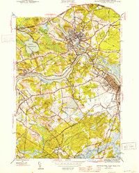
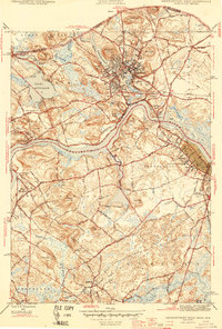
Editions of this 1944 Newburyport West Map
3 editions found
Other maps of this area

1886 · Lawrence
USGS Topo · 1:62,500

1888 · Newburyport
USGS Topo · 1:62,500

1888 · Haverhill
USGS Topo · 1:62,500

1888 · Lawrence
USGS Topo · 1:62,500

1888 · Salem
USGS Topo · 1:62,500

1890 · Haverhill
USGS Topo · 1:62,500

1890 · Newburyport
USGS Topo · 1:62,500

1893 · Salem
USGS Topo · 1:62,500

1893 · Lawrence
USGS Topo · 1:62,500

1893 · Haverhill
USGS Topo · 1:62,500