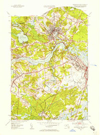
1952 Map of Newburyport West
USGS Topo · Published 1958About this map
The Merrimack River serves as the central artery of this mid-century landscape, dividing the industrial and residential centers of Amesbury and Salisbury Point from the more rural uplands of West Newbury. This 1952 revision captures the region's complex geography of hills and water, where the Powow River winds through the heart of Amesbury past Lake Gardner and Powow Hill. To the south, the terrain becomes a series of named elevations like Archelaus Hill and Indian Hill, interspersed with the Lower Artichoke Reservoir and Upper Artichoke Reservoir.
Find a feature on this map
65 named features on this map. Tap any name to fly to it.
Don’t see what you’re looking for? This feature index may not catch every label — zoom into the map to look around manually.
Map Details
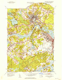
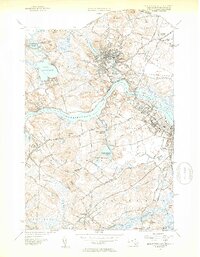
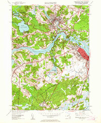
Editions of this 1952 Newburyport West Map
4 editions found
Other maps of this area

1886 · Lawrence
USGS Topo · 1:62,500

1888 · Newburyport
USGS Topo · 1:62,500

1888 · Haverhill
USGS Topo · 1:62,500

1888 · Lawrence
USGS Topo · 1:62,500

1888 · Salem
USGS Topo · 1:62,500

1890 · Haverhill
USGS Topo · 1:62,500

1890 · Newburyport
USGS Topo · 1:62,500

1893 · Salem
USGS Topo · 1:62,500

1893 · Lawrence
USGS Topo · 1:62,500

1893 · Haverhill
USGS Topo · 1:62,500