
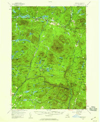
1954 Map of Newcomb
USGS Topo · Published 1957About this map
Newcomb serves as the primary settlement in this mid-century view of the high peaks region, situated along the northern reaches of the Hudson River. The landscape is defined by its extensive water systems, including the Goodnow Flowage and a string of numbered lakes from Third Lake to Eighth Lake. Cultural landmarks like the Tahawus Club and various recreational camps such as Balfour Lake Camp and Camp Baco illustrate the area's development as a seasonal retreat within the Adirondack State Park. The map also traces the Old Military Road, a historical transportation corridor through the interior. Elevation highlights include the Fire Tower atop Goodnow Mountain and the prominent Vanderwhacker Mountain. This era shows the region before major modern highway expansions, where local infrastructure was tightly integrated with the natural topography of ridges like Split Rock Ridge and Hardwood Ridge.
Find a feature on this map
143 named features on this map. Tap any name to fly to it.
Don’t see what you’re looking for? This feature index may not catch every label — zoom into the map to look around manually.
Map Details
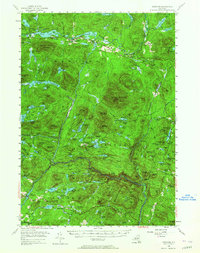
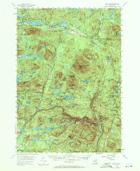
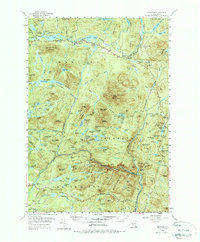
Editions of this 1954 Newcomb Map
5 editions found
Other maps of this area

1895 · North Creek
USGS Topo · 1:62,500

1895 · Mt. Marcy
USGS Topo · 1:62,500

1897 · North Creek
USGS Topo · 1:62,500

1897 · Schroon Lake
USGS Topo · 1:62,500

1898 · Newcomb
USGS Topo · 1:62,500

1898 · Thirteenth Lake
USGS Topo · 1:62,500

1899 · Indian Lake
USGS Topo · 1:62,500

1901 · Newcomb
USGS Topo · 1:62,500

1902 · Mt. Marcy
USGS Topo · 1:62,500

1902 · Indian Lake
USGS Topo · 1:62,500