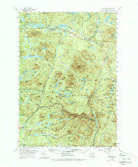
1954 Map of Newcomb
USGS Topo · Published 1988About this map
Harris Lake and Rich Lake anchor the settlement of Newcomb in this mid-century portrait of the central Adirondacks. The landscape is defined by its deep connectivity to the logging and sporting heritage of the era, visible through the numerous private camps and outdoor organizations that dot the terrain. Notable locations like the Tahawus Club, Gooley Club, and Northwoods Club signify the region's long-standing status as a destination for seasonal residents and conservationists.
Find a feature on this map
143 named features on this map. Tap any name to fly to it.
Don’t see what you’re looking for? This feature index may not catch every label — zoom into the map to look around manually.
Map Details
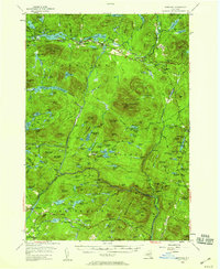
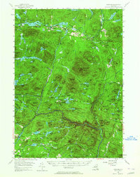
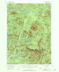
Editions of this 1954 Newcomb Map
5 editions found

Other maps of this area

1895 · North Creek
USGS Topo · 1:62,500

1895 · Mt. Marcy
USGS Topo · 1:62,500

1897 · North Creek
USGS Topo · 1:62,500

1897 · Schroon Lake
USGS Topo · 1:62,500

1898 · Newcomb
USGS Topo · 1:62,500

1898 · Thirteenth Lake
USGS Topo · 1:62,500

1899 · Indian Lake
USGS Topo · 1:62,500

1901 · Newcomb
USGS Topo · 1:62,500

1902 · Mt. Marcy
USGS Topo · 1:62,500

1902 · Indian Lake
USGS Topo · 1:62,500