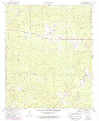
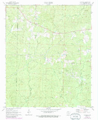
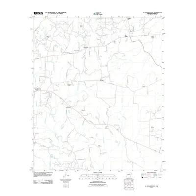
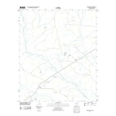
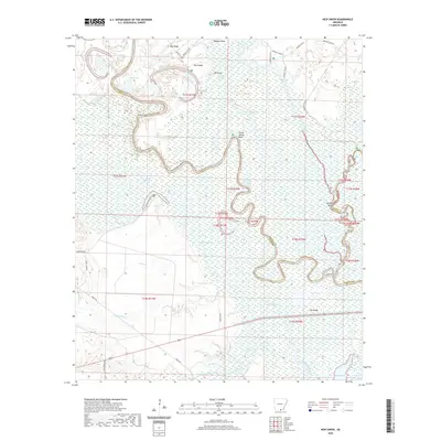
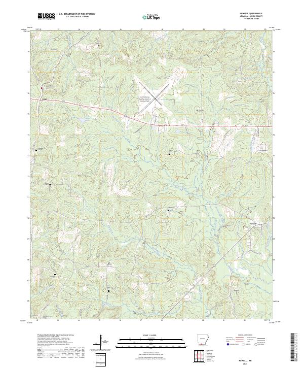
1971 Map of Newell
USGS Topo · Published 1986About this map
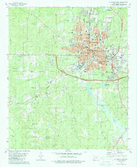
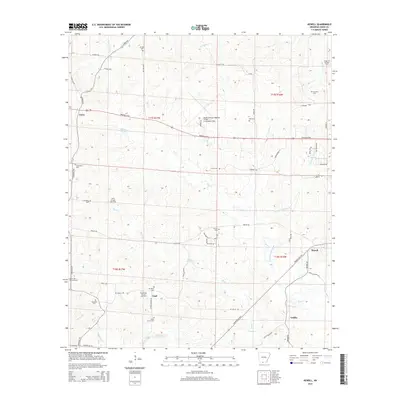
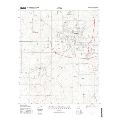
The extractive industry of Union County is visible across this 1970s landscape, where the Cairo Oil and Gas Field and Shuler Oil and Gas Field are crisscrossed by a dense network of pipelines and salt wells. At the center of the regional transportation infrastructure sits the El Dorado Airport (Goodwin Field), providing a modern anchor near the older crossroads of Lisbon and Cairo.
Find a feature on this map
31 named features on this map. Tap any name to fly to it.
Don’t see what you’re looking for? This feature index may not catch every label — zoom into the map to look around manually.
Map Details
Editions of this 1971 Newell Map
3 editions found
Historical Maps of Cairo Through Time
60 maps found
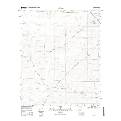
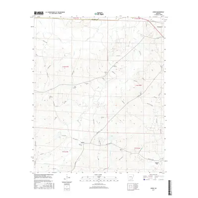
1962 Lisbon
Union County, AR
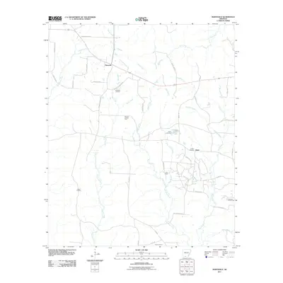
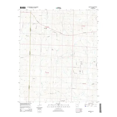
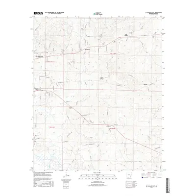
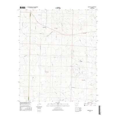
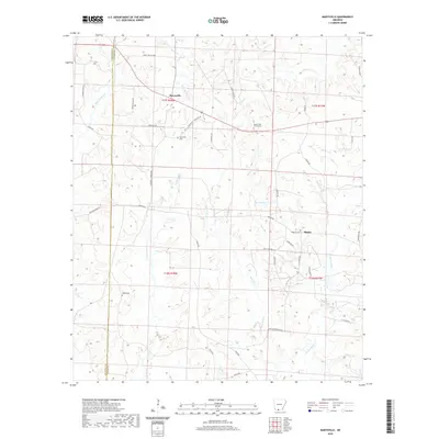
1971 Marysville
Union County, AR
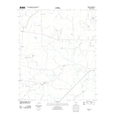
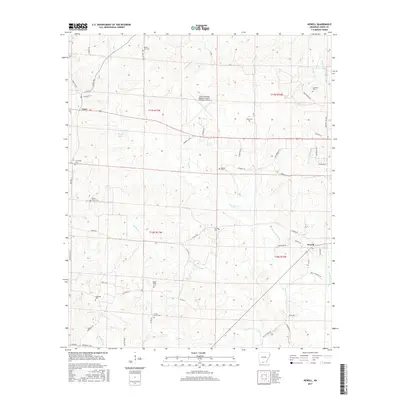
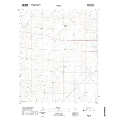
1971 Newell
Union County, AR
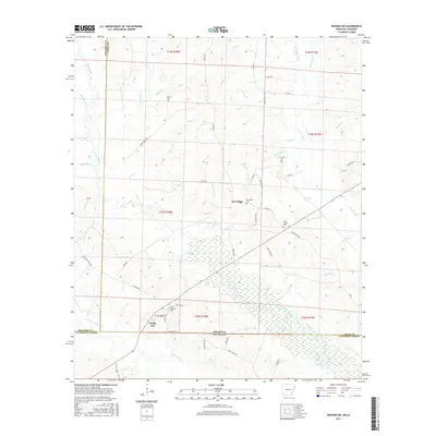
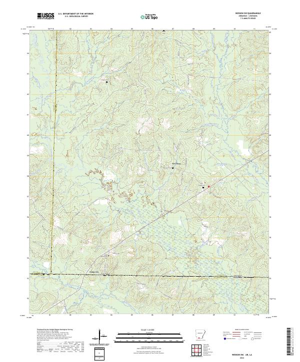
1971 Wesson SW
Union County, AR
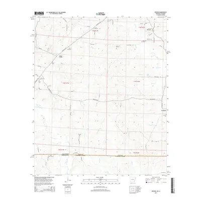
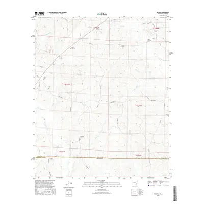
1971 Wesson
Union County, AR
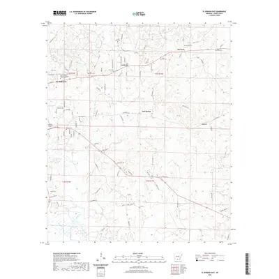
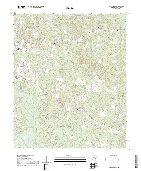
1981 El Dorado East
Union County, AR
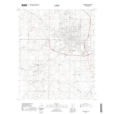
1981 El Dorado West
Union County, AR
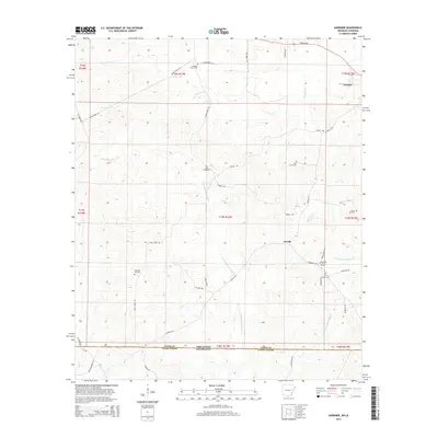
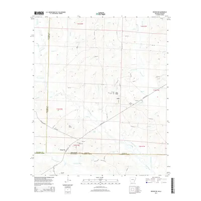
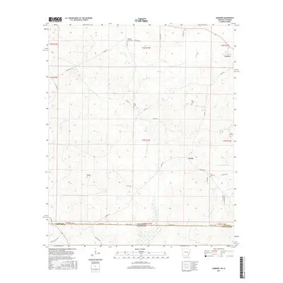
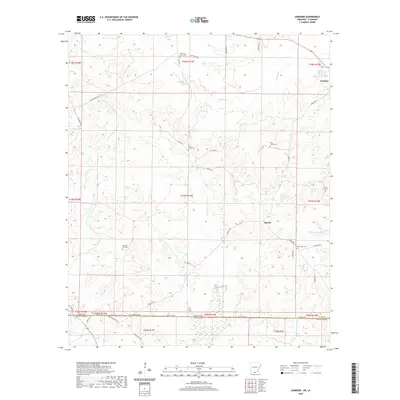
1981 Gardner
Union County, AR
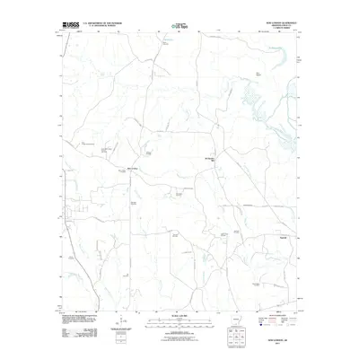
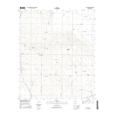
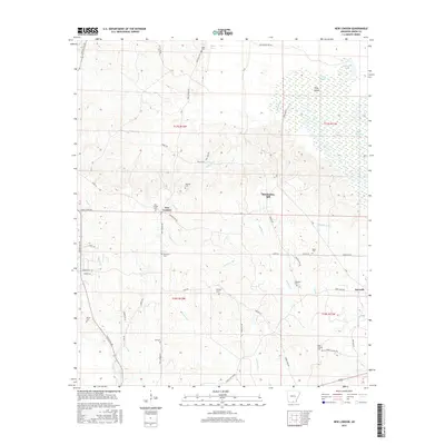
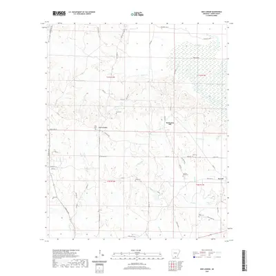
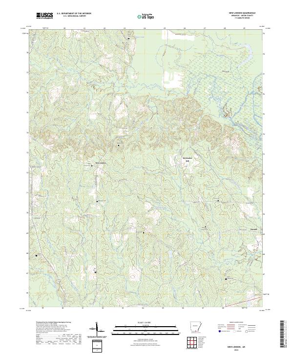
1981 New London
Union County, AR
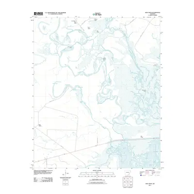
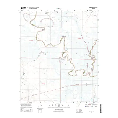
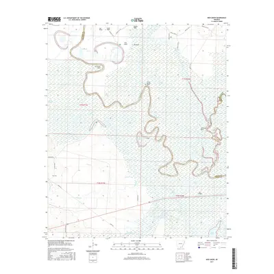
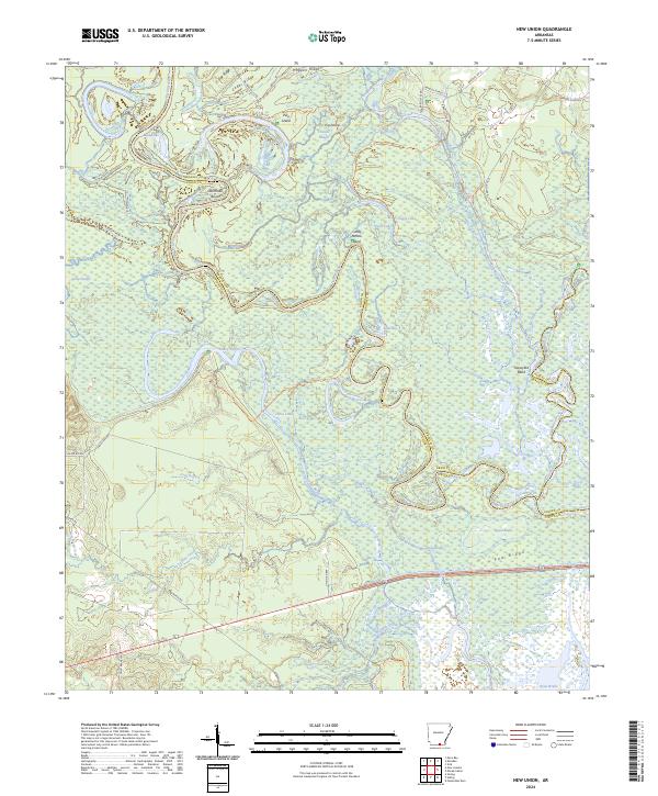
1981 New Union
Union County, AR
2011 El Dorado East
Union County, AR
2011 El Dorado West
Union County, AR
2011 Gardner
Union County, AR
2011 Lisbon
Union County, AR
2011 Marysville
Union County, AR
2011 Newell
Union County, AR
2011 New London
Union County, AR
2011 New Union
Union County, AR
2011 Wesson SW
Union County, AR
2011 Wesson
Union County, AR
2014 El Dorado East
Union County, AR
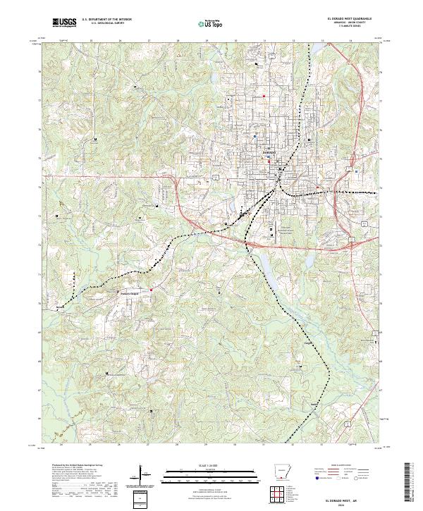
2014 El Dorado West
Union County, AR
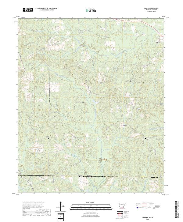
2014 Gardner
Union County, AR
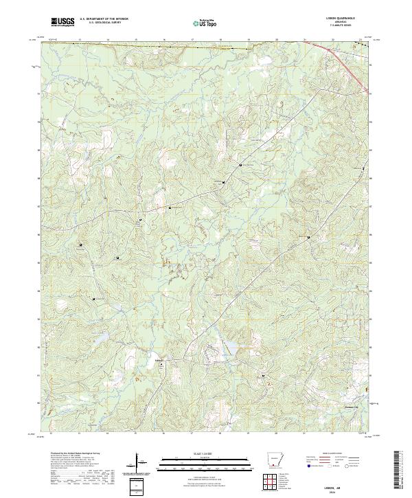
2014 Lisbon
Union County, AR
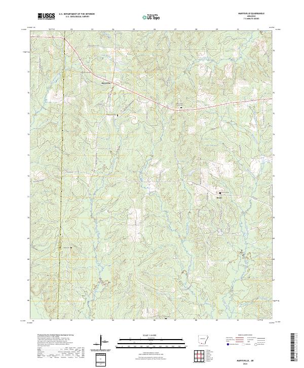
2014 Marysville
Union County, AR
2014 Newell
Union County, AR
2014 New London
Union County, AR
2014 New Union
Union County, AR
2014 Wesson SW
Union County, AR
2014 Wesson
Union County, AR
2017 El Dorado East
Union County, AR
2017 El Dorado West
Union County, AR
2017 Gardner
Union County, AR
2017 Lisbon
Union County, AR
2017 Marysville
Union County, AR
2017 Newell
Union County, AR
2017 New London
Union County, AR
2017 New Union
Union County, AR
2017 Wesson SW
Union County, AR
2017 Wesson
Union County, AR
2020 El Dorado East
Union County, AR
2020 El Dorado West
Union County, AR
2020 Gardner
Union County, AR

2020 Lisbon
Union County, AR
2020 Marysville
Union County, AR
2020 Newell
Union County, AR
2020 New London
Union County, AR
2020 New Union
Union County, AR
2020 Wesson SW
Union County, AR
2020 Wesson
Union County, AR
2024 El Dorado East
Union County, AR
2024 El Dorado West
Union County, AR
2024 Gardner
Union County, AR
2024 Lisbon
Union County, AR
2024 Marysville
Union County, AR
2024 Newell
Union County, AR
2024 New London
Union County, AR
2024 New Union
Union County, AR
2024 Wesson SW
Union County, AR
2024 Wesson
Union County, AR