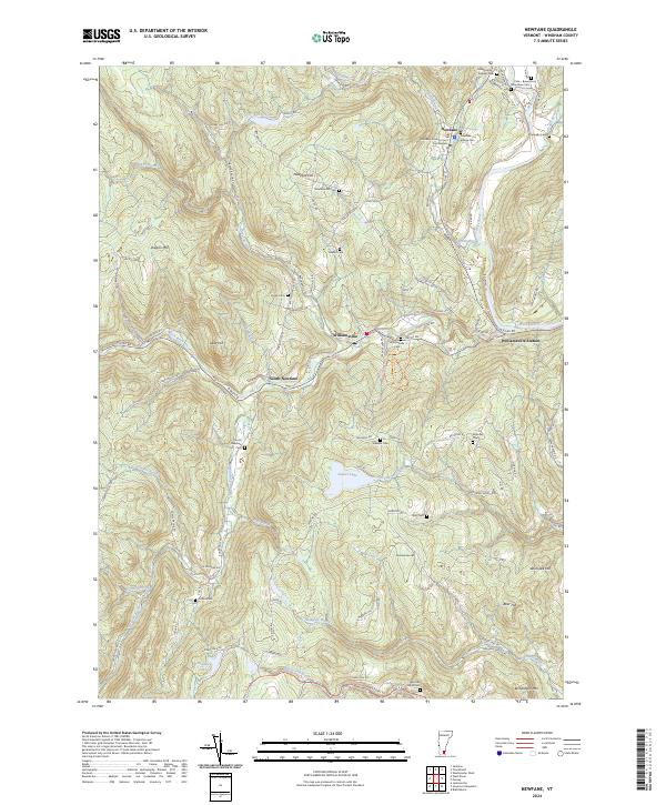
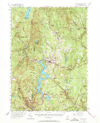
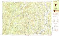
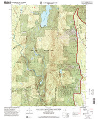
2024 Map of Newfane
USGS Topo · Published 2024About this map
The Windham County Court Civil Division anchors the village of Newfane, a quintessential Vermont county seat defined by its historic architecture and civic presence. To the west, the landscape rises toward Oregon Mtn and Newfane Hill, where the original hilltop settlement site is still marked by the Newfane Hill Cem. The southern half of the map centers on the Rock River valley, connecting the hamlets of Williamsville and South Newfane.
Find a feature on this map
101 named features on this map. Tap any name to fly to it.
Don’t see what you’re looking for? This feature index may not catch every label — zoom into the map to look around manually.
Map Details
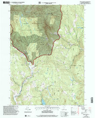
Editions of this 2024 Newfane Map
This is the sole edition of this map. No revisions or reprints were ever made.
Historical Maps of Marlboro Through Time
26 maps found
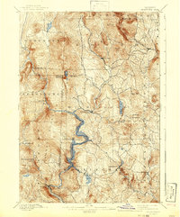
1889 Wilmington
Windham County, VT

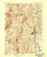
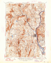
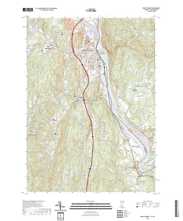
1891 Brattleboro
Windham County, VT

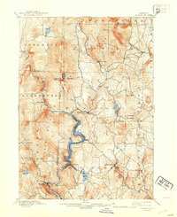
1891 Wilmington
Windham County, VT
1893 Brattleboro
Windham County, VT
1899 Wilmington
Windham County, VT

1932 Brattleboro
Windham County, VT
1935 Brattleboro
Windham County, VT

1943 Brattleboro
Windham County, VT
1954 Brattleboro
Windham County, VT
1954 Wilmington
Windham County, VT
1984 Brattleboro
Windham County, VT
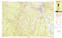
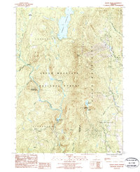
1984 Newfane
Windham County, VT
1986 Mount Snow
Windham County, VT
1986 Stratton Mtn
Windham County, VT
1986 West Dover
Windham County, VT
1997 Mount Snow
Windham County, VT
1997 West Dover
Windham County, VT
1997 Westminster West
Windham County, VT
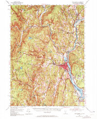
2024 Brattleboro
Windham County, VT
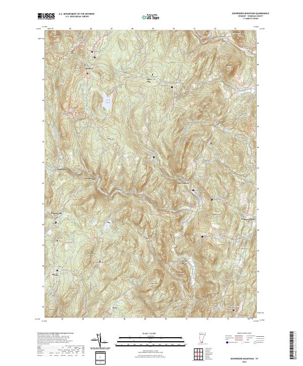
2024 Governors Mountain
Windham County, VT
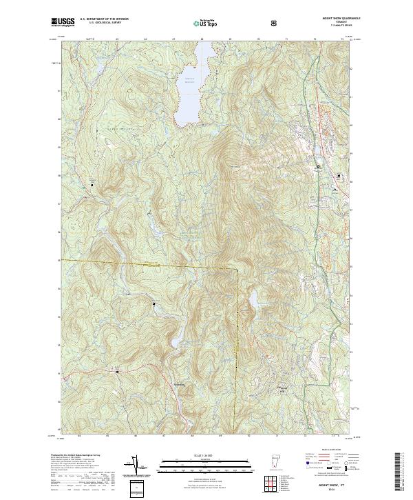
2024 Mount Snow
Windham County, VT
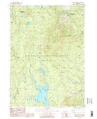
2024 Newfane
Windham County, VT
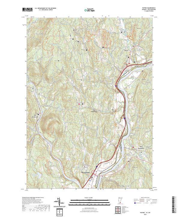
2024 Putney
Windham County, VT
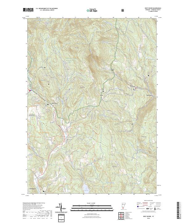
2024 West Dover
Windham County, VT
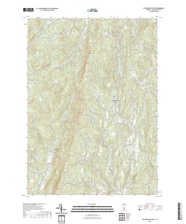
2024 Westminster West
Windham County, VT
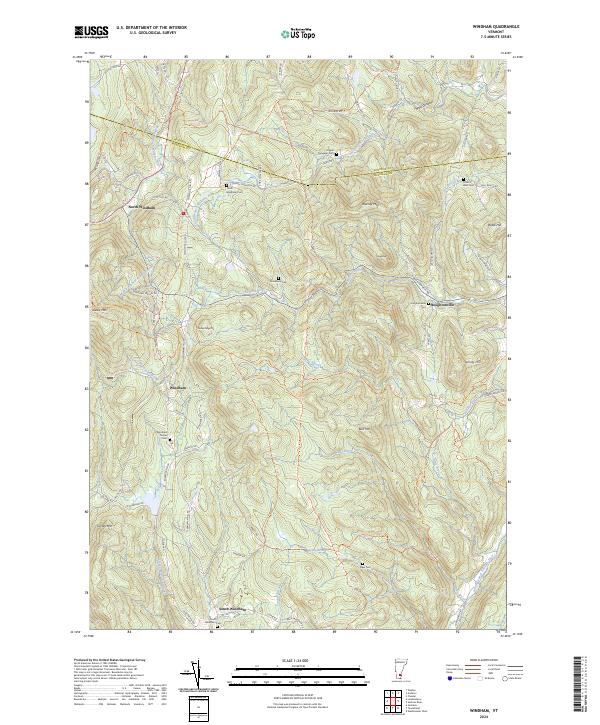
2024 Windham
Windham County, VT