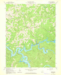
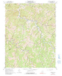
1967 Map of Newville
USGS Topo · Published 1968This historical map portrays the area of Newville in 1967, primarily covering Braxton County as well as portions of Webster County. Featuring a scale of 1:24000, this map provides a highly detailed snapshot of the terrain, roads, buildings, counties, and historical landmarks in the Newville region at the time. Published in 1968, it is one of 3 known editions of this map due to revisions or reprints.
Find a feature on this map
83 named features on this map. Tap any name to fly to it.
Don’t see what you’re looking for? This feature index may not catch every label — zoom into the map to look around manually.
Map Details
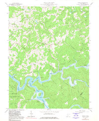
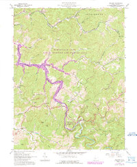
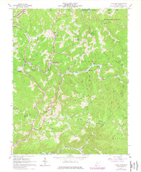
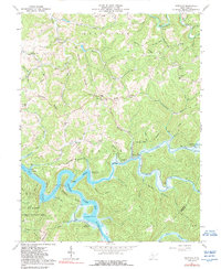
Editions of this 1967 Newville Map
3 editions found
Historical Maps of Braxton County Through Time
12 maps found

1965 Herold
Braxton County, WV
1965 Orlando
Braxton County, WV
1965 Rosedale
Braxton County, WV
1966 Cedarville
Braxton County, WV
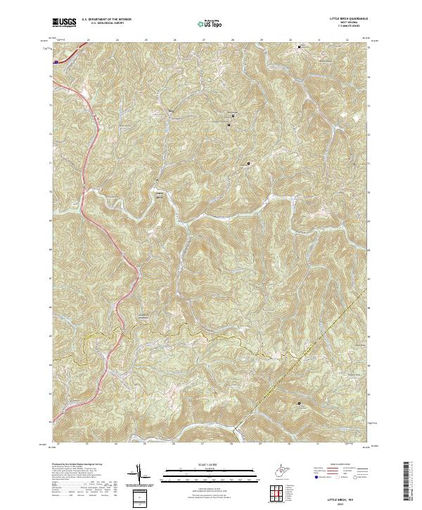
1967 Little Birch
Braxton County, WV
1967 Newville
Braxton County, WV
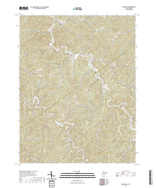
2023 Cedarville
Braxton County, WV
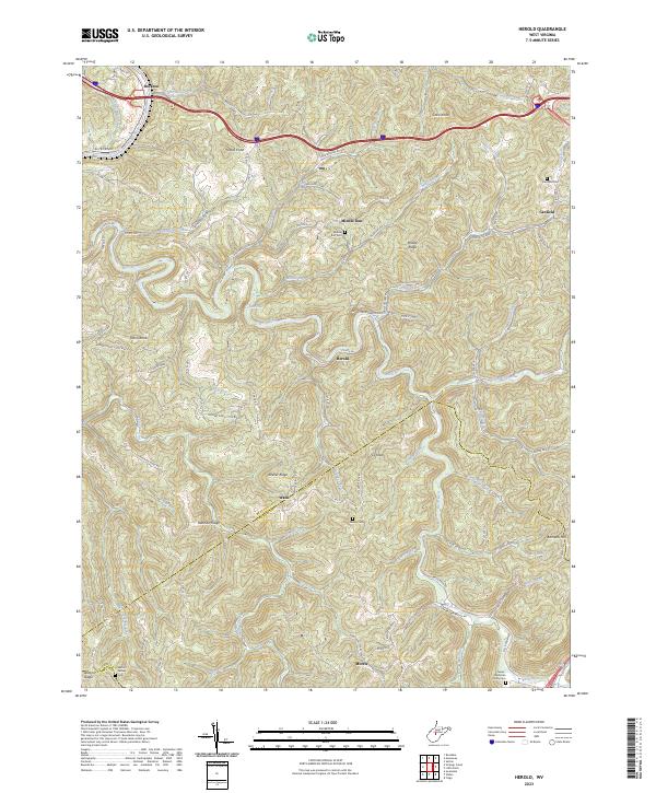
2023 Herold
Braxton County, WV
2023 Little Birch
Braxton County, WV
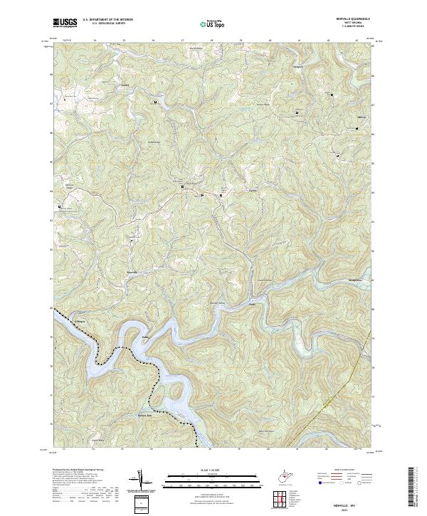
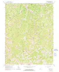
2023 Newville
Braxton County, WV
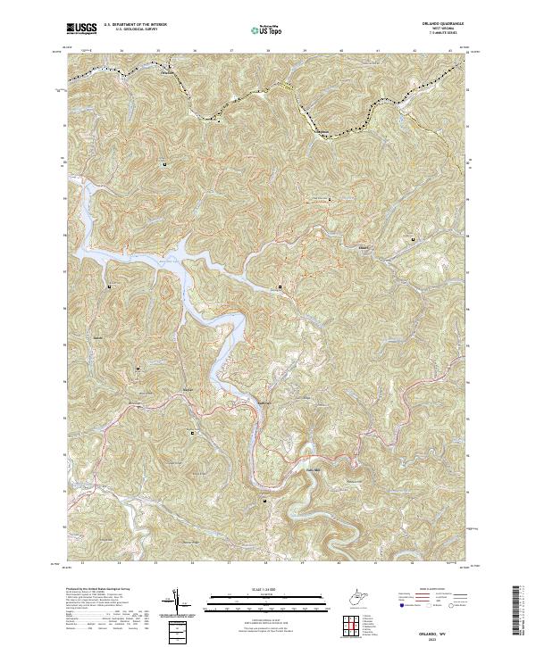
2023 Orlando
Braxton County, WV
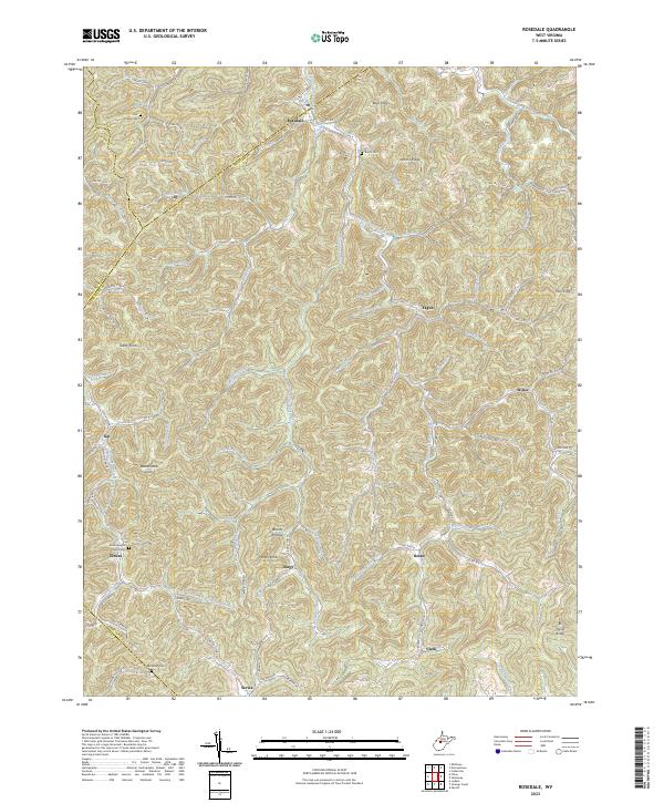
2023 Rosedale
Braxton County, WV