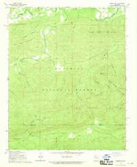
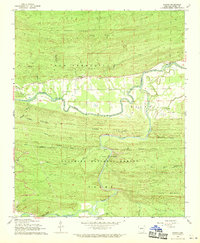
1968 Map of Nimrod SW
USGS Topo · Published 1970About this map
The South Fork La Fave River winds through the northern portion of this landscape, anchoring the settlement of Ava and providing a valley for agriculture near the Hawks Cem. This late-1960s survey documents a terrain dominated by the timbered ridges of the Ouachita National Forest, where a network of logging roads and trails connects small clearings and creek crossings. The map reveals the intricate drainage patterns of the interior highlands, defined by features like Dry Fork Mountain and the central mass of Tyler Mountain. To the south, the terrain descends toward the North Fork Ouachita River, crossing the Perry Co Garland Co boundary line. Cultural markers such as the Dry Fork Cem and the small station at Roland Divide provide key points of reference for genealogists and local historians tracing the development of these timber and mountain communities.
Find a feature on this map
29 named features on this map. Tap any name to fly to it.
Don’t see what you’re looking for? This feature index may not catch every label — zoom into the map to look around manually.
Map Details
Editions of this 1968 Nimrod SW Map
2 editions found
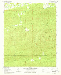
Other maps of this area

1890 · Hot Springs
USGS Topo · 1:125,000

1894 · Hot Springs
USGS Topo · 1:125,000

1955 · Little Rock
USGS Topo · 1:250,000

1956 · Little Rock
USGS Topo · 1:250,000

1960 · Little Rock
USGS Topo · 1:250,000

1962 · Avant
USGS Topo · 1:24,000

1964 · Little Rock
USGS Topo · 1:250,000
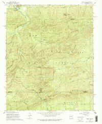
1968 · Nimrod SE
USGS Topo · 1:24,000
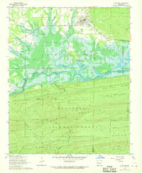
1968 · Plainview
USGS Topo · 1:24,000
1968 · Nimrod
USGS Topo · 1:24,000