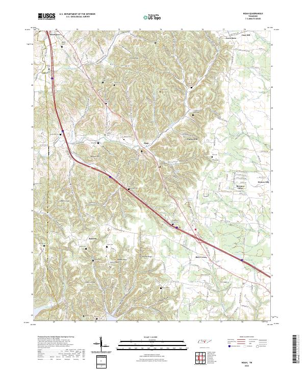
2022 Map of Noah
USGS Topo · Published 2022This historical map portrays the area of Noah in 2022, primarily covering Coffee County as well as portions of Bedford County. Featuring a scale of 1:24000, this map provides a highly detailed snapshot of the terrain, roads, buildings, counties, and historical landmarks in the Noah region at the time. Published in 2022, it is the sole known edition of this map.
Map Details
Editions of this 2022 Noah Map
This is the sole edition of this map. No revisions or reprints were ever made.
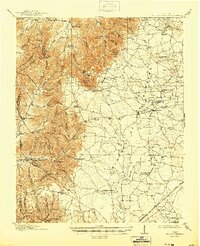
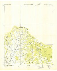
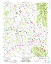
Historical Maps of Noah Through Time
20 maps found
1913 Hollow Springs
Coffee County, TN

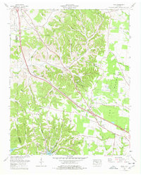
1936 Alto
Coffee County, TN
1936 Beech Grove
Coffee County, TN

1936 Fredonia
Coffee County, TN

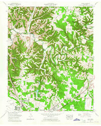
1936 Noah
Coffee County, TN

1936 Ovoca
Coffee County, TN

1941 Ovoca
Coffee County, TN
1947 Alto
Coffee County, TN
1953 Beechgrove
Coffee County, TN
1956 Fredonia
Coffee County, TN
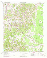
1956 Noah
Coffee County, TN
1962 Ovoca
Coffee County, TN
1972 Ovoca
Coffee County, TN
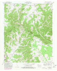
1976 Noah
Coffee County, TN
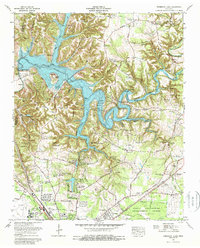
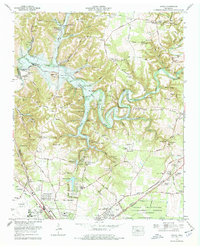
1976 Normandy Lake
Coffee County, TN
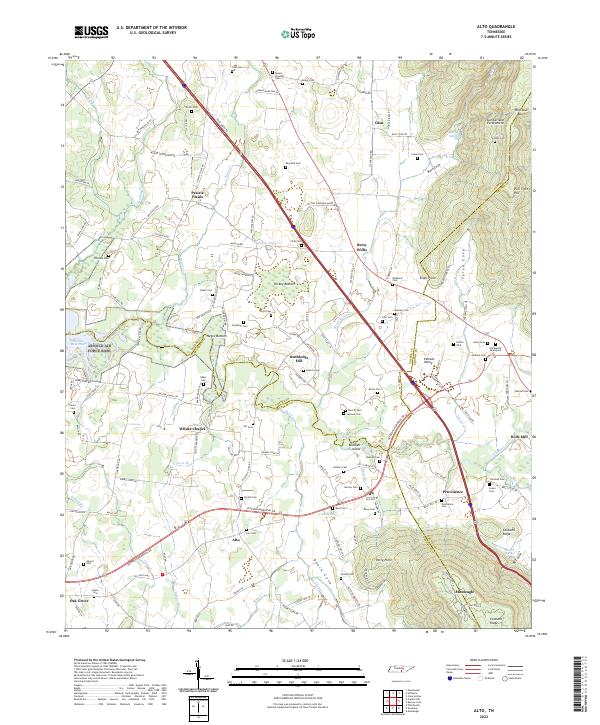
2022 Alto
Coffee County, TN
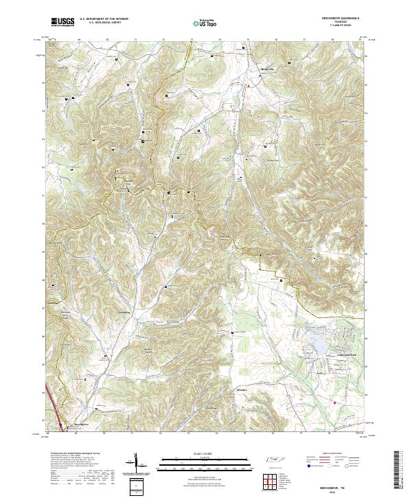
2022 Beechgrove
Coffee County, TN
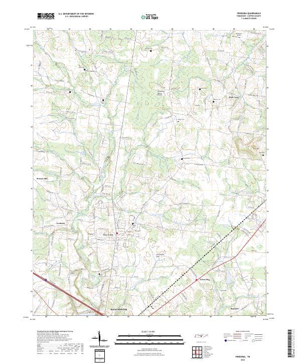
2022 Fredonia
Coffee County, TN
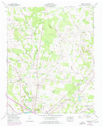
2022 Noah
Coffee County, TN
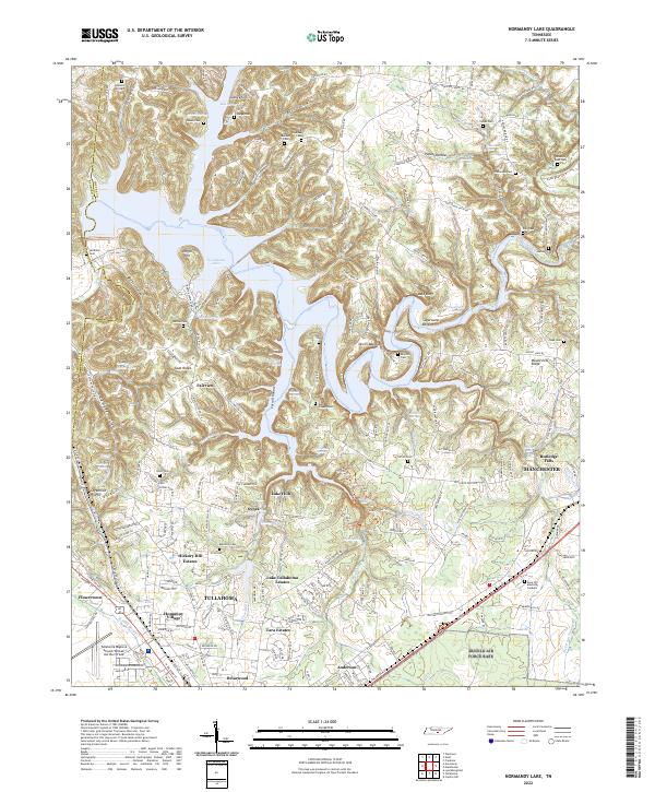
2022 Normandy Lake
Coffee County, TN