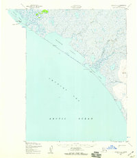
1952 Map of Noatak C-5
USGS Topo · Published 1959About this map
Kivalina sits on a thin barrier reef at the northwestern edge of this 1950s coastal survey, where the Chukchi Sea meets the expansive marshlands of the Arctic Ocean shoreline. The landscape is defined by a series of shallow coastal water bodies, including Kivalina Lagoon, Imigrook Lagoon, and Eppiahvik Lagoon, which are separated from the open sea by narrow strips of Sand and Gravel.
Find a feature on this map
18 named features on this map. Tap any name to fly to it.
Don’t see what you’re looking for? This feature index may not catch every label — zoom into the map to look around manually.
Map Details
Editions of this 1952 Noatak C-5 Map
3 editions found
Other maps of this area

1951 · Noatak
USGS Topo · 1:250,000

1955 · Noatak
USGS Topo · 1:250,000

1955 · Noatak D-4
USGS Topo · 1:63,360
1955 · Noatak D-6
USGS Topo · 1:63,360

1955 · Noatak C-4
USGS Topo · 1:63,360

1955 · Noatak B-4
USGS Topo · 1:63,360
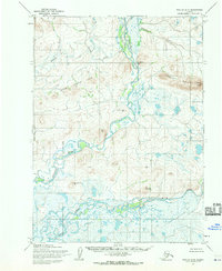
1955 · Noatak D-5
USGS Topo · 1:63,360

1964 · Noatak
USGS Topo · 1:250,000
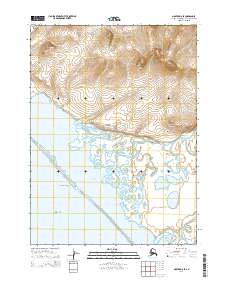
2014 · Noatak D-6 SE
USGS Topo · 1:25,000
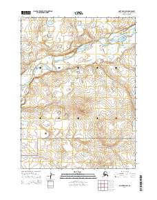
2014 · Noatak D-4 SW
USGS Topo · 1:25,000