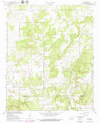
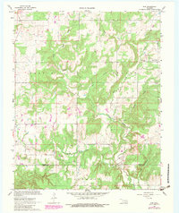
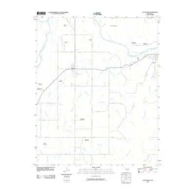
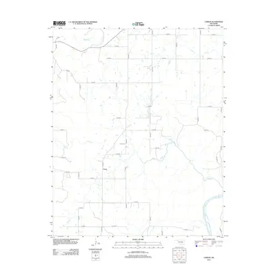
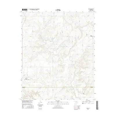
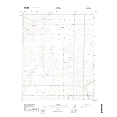
1967 Map of Non
USGS Topo · Published 1979About this map
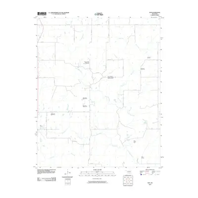
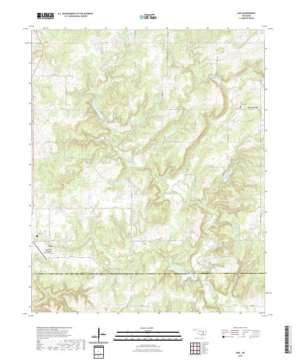
The small settlement of Non anchors this topography near the boundary of Hughes Co Coal Co. This rural landscape is defined by its intricate drainage networks, where Caney Boggy Creek and Salt Creek converge as they move through the township divisions of Jackson, Stuart, and Calvin. Evidence of early settlement and community life is preserved in the location of the Non Cem and Rock Creek Cem, providing valuable points of reference for genealogists studying the families of south-central Oklahoma. The map also documents local industry through several Sandpit and Gravel Pits scattered near the banks of Sandy Creek and King Hollow Creek. These extraction sites, alongside the winding paths of Boggy Creek and Rock Creek, reveal a landscape shaped by both its natural waterways and the localized resource economy of the mid-to-late twentieth century.
Find a feature on this map
16 named features on this map. Tap any name to fly to it.
Don’t see what you’re looking for? This feature index may not catch every label — zoom into the map to look around manually.
Map Details
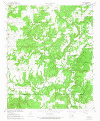
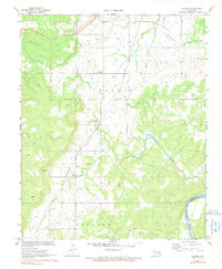
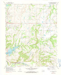
Editions of this 1967 Non Map
3 editions found
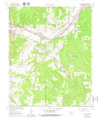
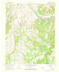
Historical Maps of Non Through Time
36 maps found
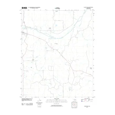
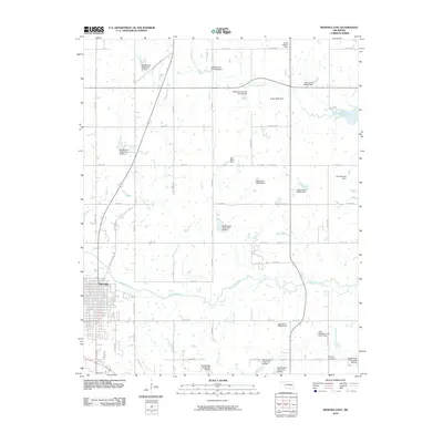
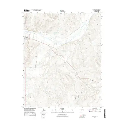
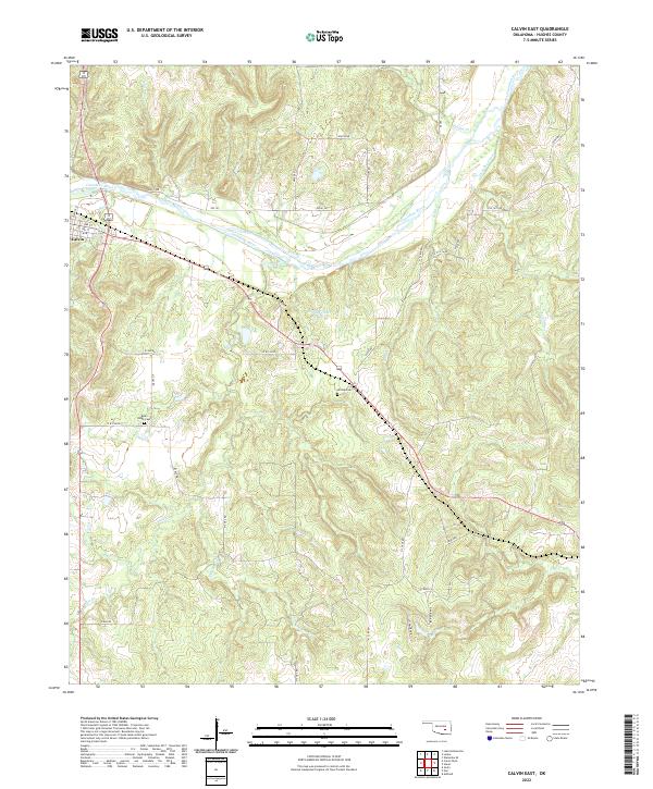
1967 Calvin East
Hughes County, OK
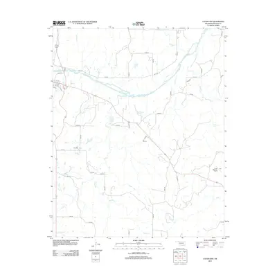
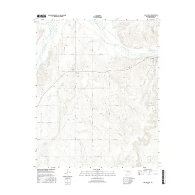
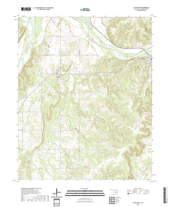
1967 Calvin West
Hughes County, OK
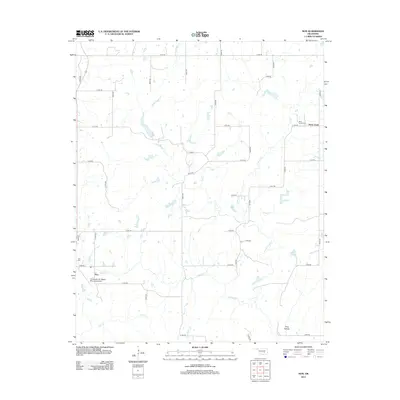
1967 Non
Hughes County, OK
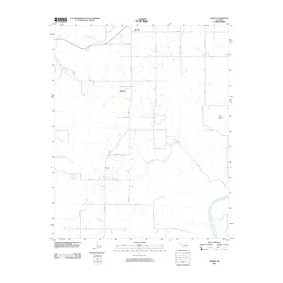
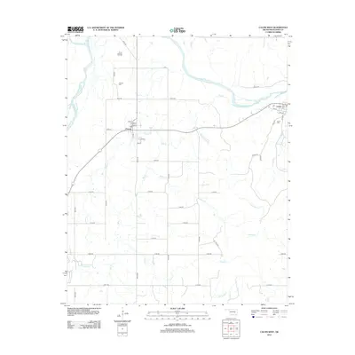
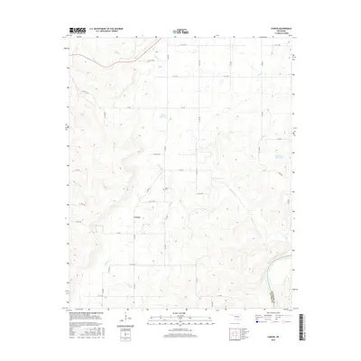
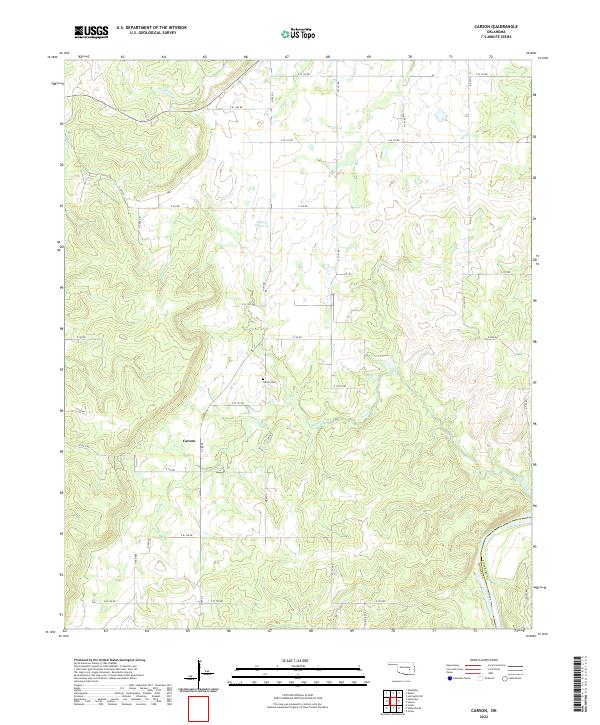
1971 Carson
Hughes County, OK
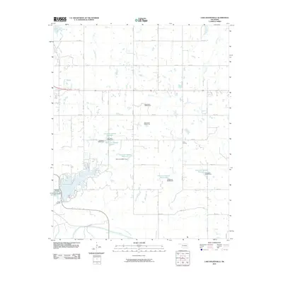
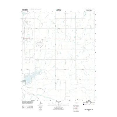
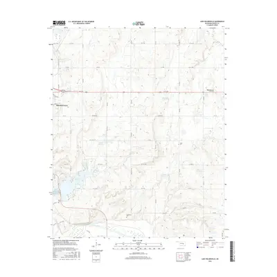
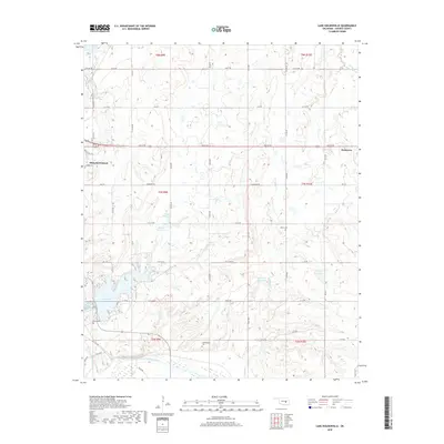
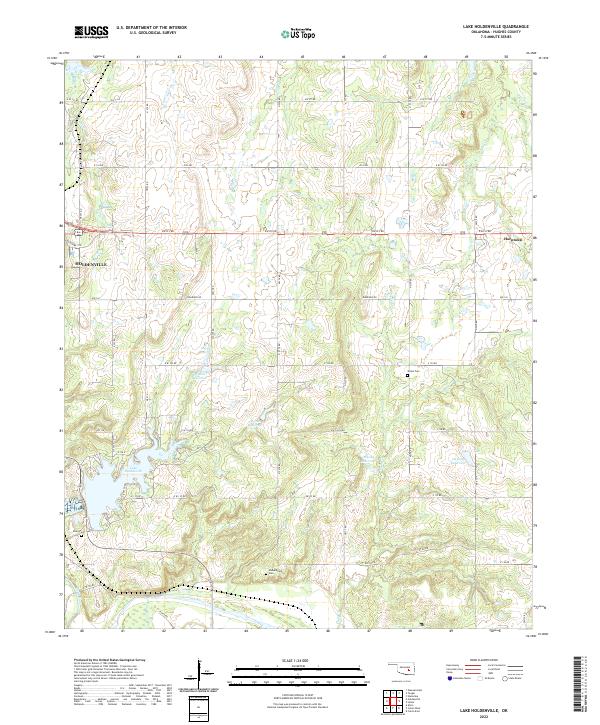
1972 Lake Holdenville
Hughes County, OK
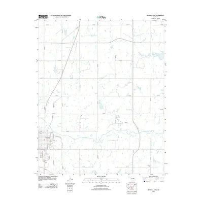
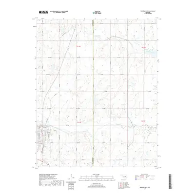
1972 Wewoka East
Hughes County, OK
2009 Calvin West
Hughes County, OK
2010 Calvin East
Hughes County, OK
2010 Carson
Hughes County, OK
2010 Lake Holdenville
Hughes County, OK
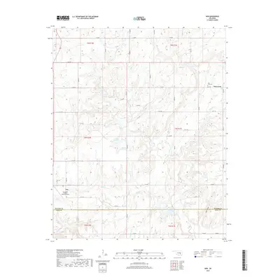
2010 Non
Hughes County, OK
2010 Wewoka East
Hughes County, OK
2012 Calvin East
Hughes County, OK
2012 Calvin West
Hughes County, OK
2012 Carson
Hughes County, OK
2012 Lake Holdenville
Hughes County, OK
2012 Wewoka East
Hughes County, OK
2013 Non
Hughes County, OK
2016 Calvin East
Hughes County, OK
2016 Calvin West
Hughes County, OK
2016 Carson
Hughes County, OK
2016 Lake Holdenville
Hughes County, OK
2016 Non
Hughes County, OK
2016 Wewoka East
Hughes County, OK
2018 Calvin East
Hughes County, OK
2018 Calvin West
Hughes County, OK
2018 Carson
Hughes County, OK
2018 Lake Holdenville
Hughes County, OK
2018 Non
Hughes County, OK
2018 Wewoka East
Hughes County, OK
2022 Calvin East
Hughes County, OK
2022 Calvin West
Hughes County, OK
2022 Carson
Hughes County, OK
2022 Lake Holdenville
Hughes County, OK
2022 Non
Hughes County, OK
2022 Wewoka East
Hughes County, OK