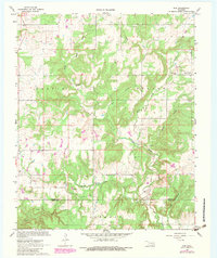
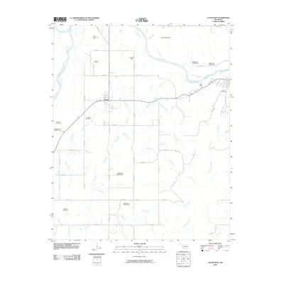
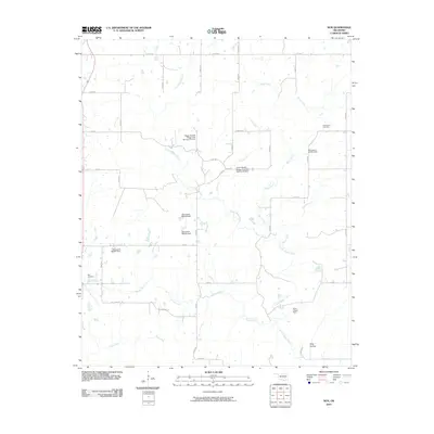
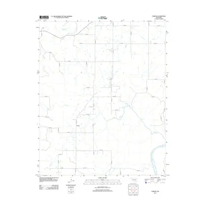
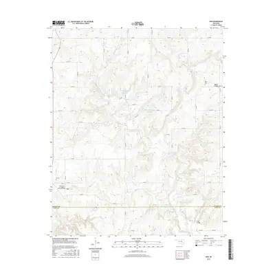
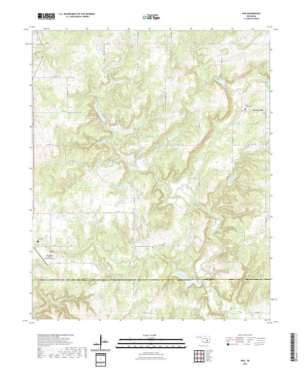
1967 Map of Non
USGS Topo · Published 1983About this map
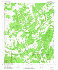
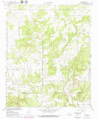
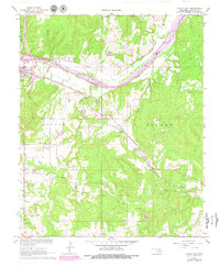
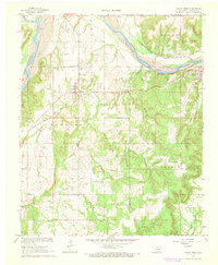
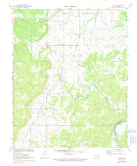
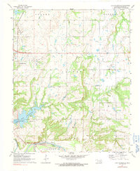
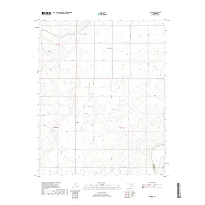
Boggy Creek and Caney Boggy Creek define the drainage of this rural landscape where the boundaries of Calvin, Stuart, and Jackson townships meet. The map reveals a mid-century economy built on resource extraction, documented through numerous Sandpits and Gravel Pits scattered near the watercourses. A prominent Pipeline cuts across the northern terrain, signaling the infrastructure of the regional energy sector.
Find a feature on this map
17 named features on this map. Tap any name to fly to it.
Don’t see what you’re looking for? This feature index may not catch every label — zoom into the map to look around manually.
Map Details
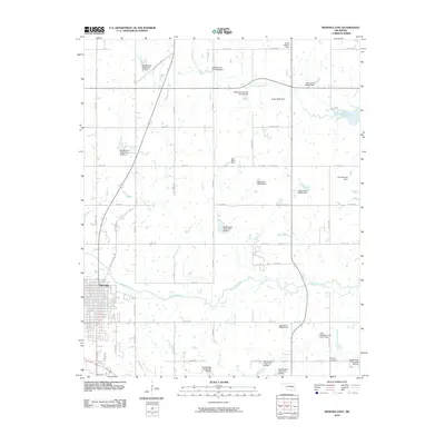
Editions of this 1967 Non Map
3 editions found
Historical Maps of Non Through Time
36 maps found
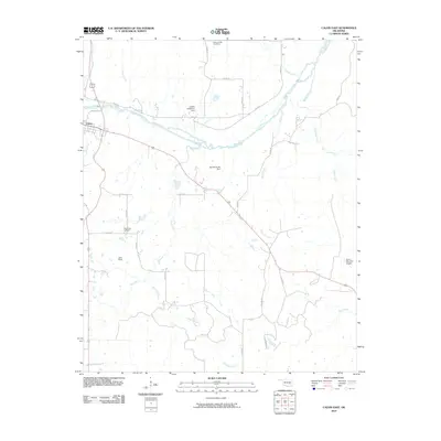
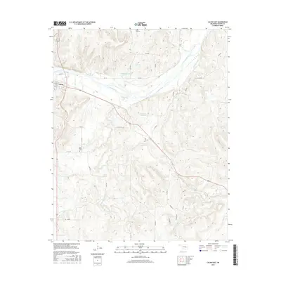
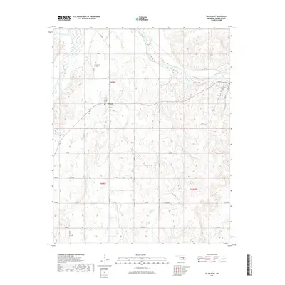
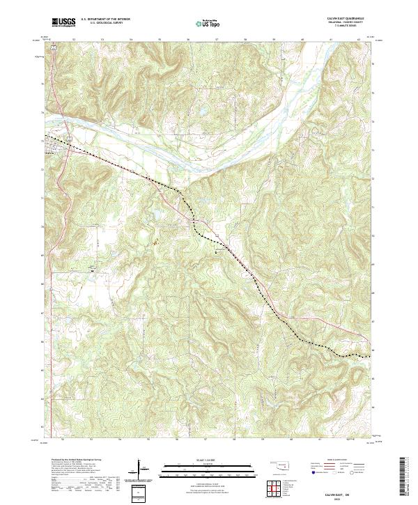
1967 Calvin East
Hughes County, OK
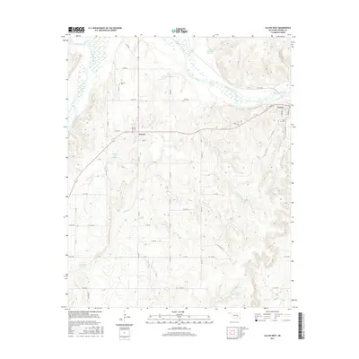
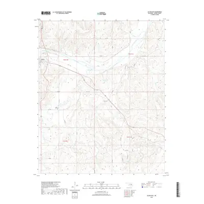
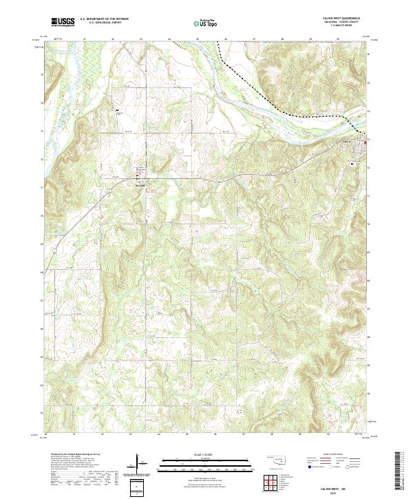
1967 Calvin West
Hughes County, OK
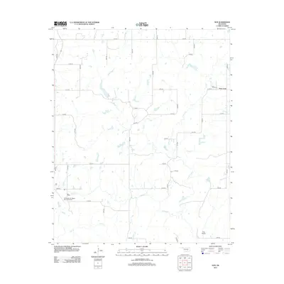
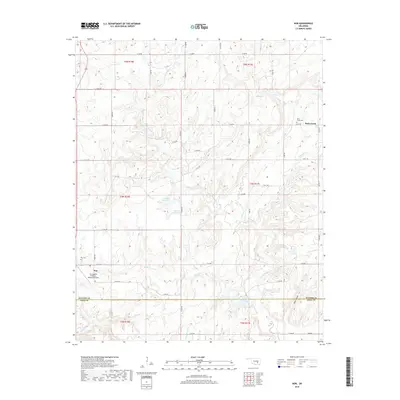
1967 Non
Hughes County, OK
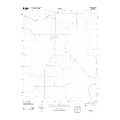
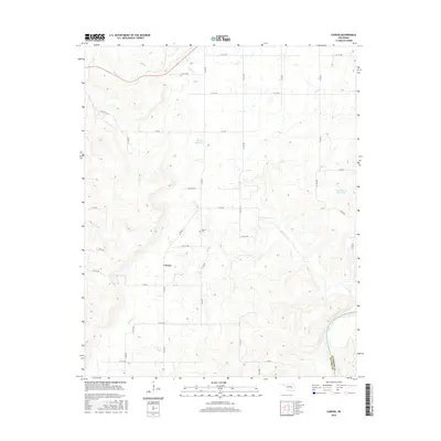
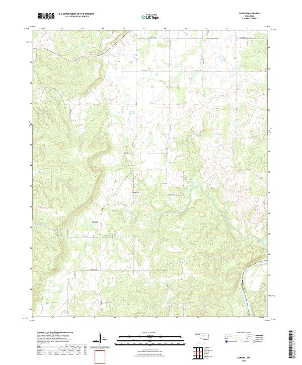
1971 Carson
Hughes County, OK
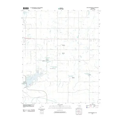
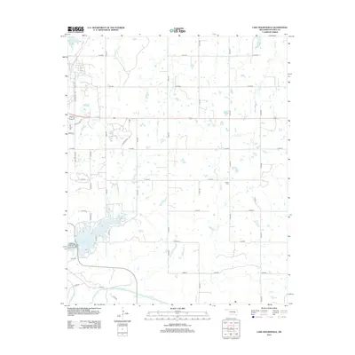
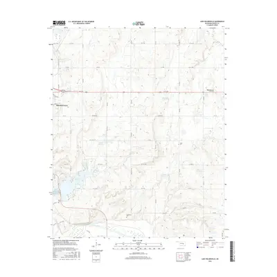
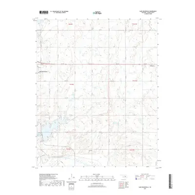
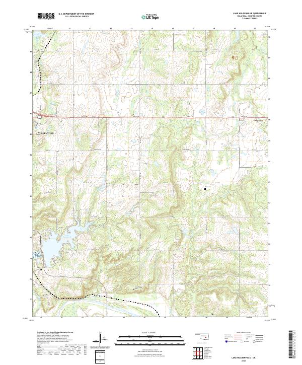
1972 Lake Holdenville
Hughes County, OK
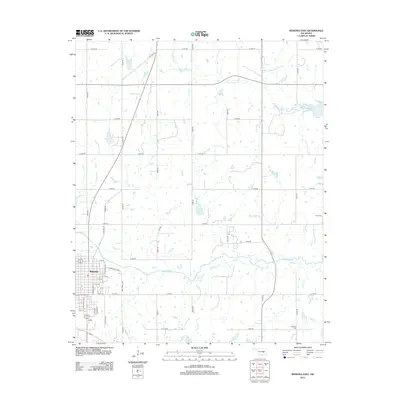
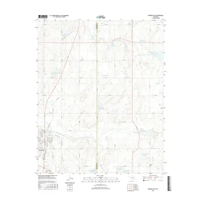
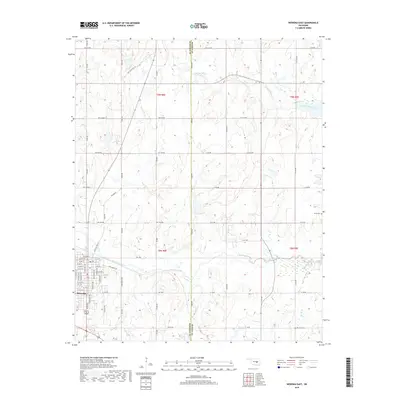
1972 Wewoka East
Hughes County, OK
2009 Calvin West
Hughes County, OK
2010 Calvin East
Hughes County, OK
2010 Carson
Hughes County, OK
2010 Lake Holdenville
Hughes County, OK
2010 Non
Hughes County, OK
2010 Wewoka East
Hughes County, OK
2012 Calvin East
Hughes County, OK
2012 Calvin West
Hughes County, OK
2012 Carson
Hughes County, OK
2012 Lake Holdenville
Hughes County, OK
2012 Wewoka East
Hughes County, OK
2013 Non
Hughes County, OK
2016 Calvin East
Hughes County, OK
2016 Calvin West
Hughes County, OK
2016 Carson
Hughes County, OK
2016 Lake Holdenville
Hughes County, OK
2016 Non
Hughes County, OK
2016 Wewoka East
Hughes County, OK
2018 Calvin East
Hughes County, OK
2018 Calvin West
Hughes County, OK
2018 Carson
Hughes County, OK
2018 Lake Holdenville
Hughes County, OK
2018 Non
Hughes County, OK
2018 Wewoka East
Hughes County, OK
2022 Calvin East
Hughes County, OK
2022 Calvin West
Hughes County, OK
2022 Carson
Hughes County, OK
2022 Lake Holdenville
Hughes County, OK
2022 Non
Hughes County, OK
2022 Wewoka East
Hughes County, OK