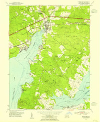
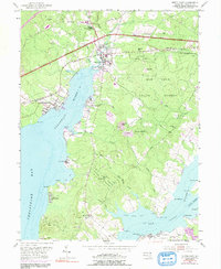
1953 Map of North East
USGS Topo · Published 1955About this map
The Northeast River and its many tributary creeks define this landscape where the headwaters of the Chesapeake Bay meet the rolling hills of Cecil County. During the early 1950s, the area shows a complex network of transportation and coastal life, with the Pennsylvania and Baltimore and Ohio railroads intersecting near the town of North East. To the south, the expansive Elk Neck State Forest covers much of the peninsula between the Northeast and Elk River, punctuated by landmarks like the lookout tower at Black Hill. Coastal settlements and camps such as Charlestown, Port Herman, and Camp Rodney line the shores, while inland, smaller communities like Leslie and Bacon Hill center around local landmarks including Bethel Ch and the Thomas Ave Sch. This survey records the shoreline before modern expansion, capturing old landing points like Old Town Point Wharf.
Find a feature on this map
64 named features on this map. Tap any name to fly to it.
Don’t see what you’re looking for? This feature index may not catch every label — zoom into the map to look around manually.
Map Details
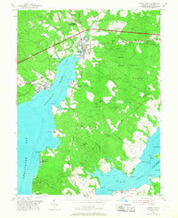
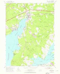
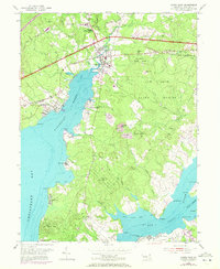
Editions of this 1953 North East Map
5 editions found
Other maps of this area

1898 · Elkton
USGS Topo · 1:62,500

1898 · Tolchester
USGS Topo · 1:125,000

1899 · Dover
USGS Topo · 1:125,000

1900 · Elkton
USGS Topo · 1:62,500

1900 · Cecilton
USGS Topo · 1:62,500

1900 · Havre De Grace
USGS Topo · 1:62,500

1900 · Betterton
USGS Topo · 1:62,500

1903 · Tolchester
USGS Topo · 1:125,000

1906 · Dover
USGS Topo · 1:125,000

1908 · Tolchester
USGS Topo · 1:125,000