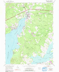
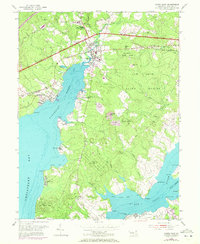
1953 Map of North East
USGS Topo · Published 1991About this map
North East and Charlestown anchor this coastal landscape where the Northeast River meets the upper reaches of the Chesapeake Bay. The terrain is defined by the expansive Elk Neck State Forest, which covers the peninsula between the Northeast and Elk River. Transportation is a central theme, with the Penn Central and Baltimore and Ohio railroads traversing the northern corridor alongside the General Pulaski Highway. This 1953 survey, with purple-ink updates from 1970, captures the area's mid-century character, showing clusters of spiritual and youth recreation at Nazarene Camp and Morning Cheer Camp. Genealogists may find value in the specific locations of Bethel Ch and Wesley Ch, along with their associated cemeteries, while the shoreline is dotted with named points like Seneca Pt and Red Point that suggest a long history of maritime navigation.
Find a feature on this map
60 named features on this map. Tap any name to fly to it.
Don’t see what you’re looking for? This feature index may not catch every label — zoom into the map to look around manually.
Map Details
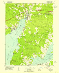
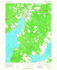
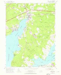
Editions of this 1953 North East Map
5 editions found
Other maps of this area

1898 · Elkton
USGS Topo · 1:62,500

1898 · Tolchester
USGS Topo · 1:125,000

1899 · Dover
USGS Topo · 1:125,000

1900 · Elkton
USGS Topo · 1:62,500

1900 · Cecilton
USGS Topo · 1:62,500

1900 · Havre De Grace
USGS Topo · 1:62,500

1900 · Betterton
USGS Topo · 1:62,500

1903 · Tolchester
USGS Topo · 1:125,000

1906 · Dover
USGS Topo · 1:125,000

1908 · Tolchester
USGS Topo · 1:125,000