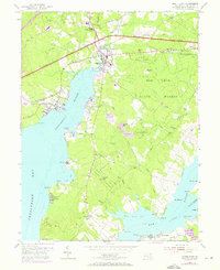
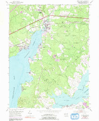
1953 Map of North East
USGS Topo · Published 1971About this map
Elk Neck State Forest dominates the peninsula between the Northeast River and the Elk River in this mid-century portrait of Cecil County. The town of North East serves as a hub where the Penn Central railroad and Pulaski Highway intersect, facilitating movement across the northern Chesapeake region. The map reveals a landscape defined by seasonal and communal institutions, featuring several waterfront retreats like Nazarene Camp, Morning Cheer Camp, and Camp Rodney.
Find a feature on this map
57 named features on this map. Tap any name to fly to it.
Don’t see what you’re looking for? This feature index may not catch every label — zoom into the map to look around manually.
Map Details
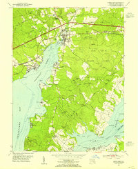
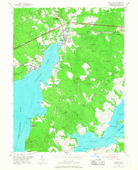
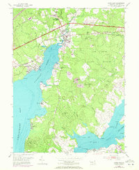
Editions of this 1953 North East Map
5 editions found
Other maps of this area

1898 · Elkton
USGS Topo · 1:62,500

1898 · Tolchester
USGS Topo · 1:125,000

1899 · Dover
USGS Topo · 1:125,000

1900 · Elkton
USGS Topo · 1:62,500

1900 · Cecilton
USGS Topo · 1:62,500

1900 · Havre De Grace
USGS Topo · 1:62,500

1900 · Betterton
USGS Topo · 1:62,500

1903 · Tolchester
USGS Topo · 1:125,000

1906 · Dover
USGS Topo · 1:125,000

1908 · Tolchester
USGS Topo · 1:125,000