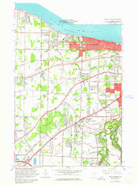
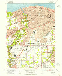
1963 Map of North Olmsted
USGS Topo · Published 1964About this map
The southern shoreline of Lake Erie defines the northern edge of this suburban and rural landscape, where the growing communities of Bay Village and Avon Lake transition into the parklands and farms of the interior. The topographic RIDGE lines, including Butternut Ridge Road and Chestnut Ridge Road, follow ancient shorelines, dictating the settlement patterns and road networks that avoid the low-lying drainage of Porter Creek and Cahoon Creek. Significant green space is preserved within the Bradley Woods Reservation and the winding corridor of the Rocky River Reservation to the east.
Find a feature on this map
64 named features on this map. Tap any name to fly to it.
Don’t see what you’re looking for? This feature index may not catch every label — zoom into the map to look around manually.
Map Details
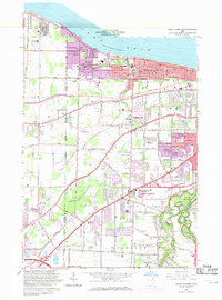
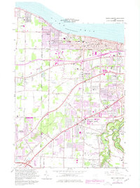
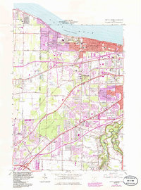
Editions of this 1963 North Olmsted Map
4 editions found
Other maps of this area

1901 · Oberlin
USGS Topo · 1:62,500

1902 · Berea
USGS Topo · 1:62,500

1903 · Oberlin
USGS Topo · 1:62,500

1904 · Berea
USGS Topo · 1:62,500

1950 · Cleveland
USGS Topo · 1:250,000

1953 · West View
USGS Topo · 1:24,000

1953 · Berea
USGS Topo · 1:24,000

1953 · Grafton
USGS Topo · 1:24,000

1953 · Avon
USGS Topo · 1:24,000
1953 · Lakewood
USGS Topo · 1:24,000