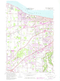
1963 Map of North Olmsted
USGS Topo · Published 1979About this map
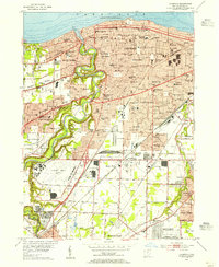
Lake Erie defines the northern edge of this suburban landscape, where the growing residential footprints of Avon Lake, Bay Village, and Westlake meet the established rural corridors of the interior. The terrain is marked by a series of prominent ridges, including Butternut Ridge Road and Chestnut Ridge Road, which serve as historic spines for early settlement and numerous local cemeteries such as Evergreen Cem and Coe Ridge Cem.
Find a feature on this map
84 named features on this map. Tap any name to fly to it.
Don’t see what you’re looking for? This feature index may not catch every label — zoom into the map to look around manually.
Map Details
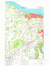
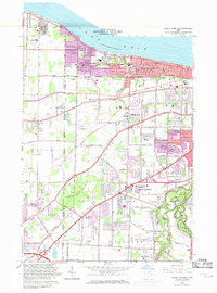
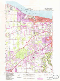
Editions of this 1963 North Olmsted Map
4 editions found
Other maps of this area

1901 · Oberlin
USGS Topo · 1:62,500

1902 · Berea
USGS Topo · 1:62,500

1903 · Oberlin
USGS Topo · 1:62,500

1904 · Berea
USGS Topo · 1:62,500

1950 · Cleveland
USGS Topo · 1:250,000

1953 · West View
USGS Topo · 1:24,000

1953 · Berea
USGS Topo · 1:24,000

1953 · Grafton
USGS Topo · 1:24,000

1953 · Avon
USGS Topo · 1:24,000
1953 · Lakewood
USGS Topo · 1:24,000