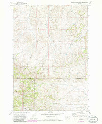
1973 Map of North Stacey School
USGS Topo · Published 1986About this map
The Custer National Forest boundary crosses this landscape south of Mullins Coulee, marking a transition between the open rangelands of the Base Line and the rugged drainage systems of the Powder River basin. In the early 1970s, this area remained sparsely settled, focused on small rural institutions such as the North Stacey School and the nearby North Stacey Cem located near Castle Rock.
Find a feature on this map
23 named features on this map. Tap any name to fly to it.
Don’t see what you’re looking for? This feature index may not catch every label — zoom into the map to look around manually.
Map Details
Editions of this 1973 North Stacey School Map
2 editions found
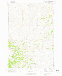
Other maps of this area

1954 · Hardin
USGS Topo · 1:250,000

1954 · Ekalaka
USGS Topo · 1:250,000

1956 · Ekalaka
USGS Topo · 1:250,000

1957 · Hardin
USGS Topo · 1:250,000

1958 · Ekalaka
USGS Topo · 1:250,000

1958 · Hardin
USGS Topo · 1:250,000

1965 · Ekalaka
USGS Topo · 1:250,000

1966 · Stacey
USGS Topo · 1:24,000

1966 · Beaver Creek School
USGS Topo · 1:24,000

1966 · Elk Ridge
USGS Topo · 1:24,000