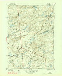
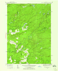
1947 Map of North Wilmurt
USGS Topo · Published 1947About this map
The Black River meanders through this portion of the Adirondack Park, defining a landscape of dense waterways and scattered settlements in the late 1940s. Centered on the boundary between Remsen and Ohio, the map reveals a network of primitive roads like Bellingertown Road and Wheelertown Road that connect isolated hamlets. The presence of Wheelertown and its associated Wheelertown Cem offers specific geographic points for genealogical research, while the upstream areas show seasonal or specialized outposts such as Lyons Camp and Stone Dam Lake Camp. The terrain is characterized by numerous small bodies of water, including Mink Lake, Twin Lakes, and Reeds Pond, which feed into the complex drainage system of Woodhull Creek and Stony Brook. This survey illustrates the early 20th-century transition of the region from active timber or rural industry toward its enduring character as a protected wilderness area.
Find a feature on this map
39 named features on this map. Tap any name to fly to it.
Don’t see what you’re looking for? This feature index may not catch every label — zoom into the map to look around manually.
Map Details
Editions of this 1947 North Wilmurt Map
2 editions found
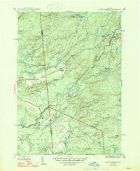
Other maps of this area

1897 · Remsen
USGS Topo · 1:62,500

1900 · Remsen
USGS Topo · 1:62,500

1900 · Wilmurt
USGS Topo · 1:62,500

1901 · Old Forge
USGS Topo · 1:62,500

1902 · Wilmurt
USGS Topo · 1:62,500

1912 · Mc Keever
USGS Topo · 1:62,500

1945 · Forestport
USGS Topo · 1:24,000
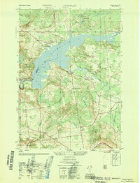
1946 · Hinckley
USGS Topo · 1:25,000
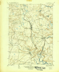
1946 · Remsen
USGS Topo · 1:31,680
1946 · North Wilmurt
USGS Topo · 1:24,000