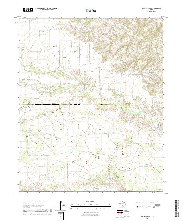
2022 Map of North Windmill
USGS Topo · Published 2022About this map
Wolf Flat sits at the intersection of a sprawling rural road network in this section of West Texas, where the terrain is carved by the drainages of the Wind River and Turkey Cr. The geography here is defined by the county line between Hall and Motley counties, which divides the landscape horizontally. Evidence of the area's early twentieth-century settlement persists in the form of the Dreamland Cem, situated along Co RD Aa. The local infrastructure follows the winding paths of seasonal waterways like Kent Cr, with farm-to-market roads and county routes providing the primary access to the scattered ranches and homesteads that define this portion of the Rolling Plains.
Find a feature on this map
15 named features on this map. Tap any name to fly to it.
Don’t see what you’re looking for? This feature index may not catch every label — zoom into the map to look around manually.
Map Details
Editions of this 2022 North Windmill Map
This is the sole edition of this map. No revisions or reprints were ever made.
Other maps of this area

1954 · Plainview
USGS Topo · 1:250,000

1958 · Plainview
USGS Topo · 1:250,000

1967 · North Windmill
USGS Topo · 1:24,000

1967 · Cottonwood Camp
USGS Topo · 1:24,000

1967 · Tampico Siding
USGS Topo · 1:24,000

1967 · Hornica Creek
USGS Topo · 1:24,000

1967 · Turtle Hole Camp
USGS Topo · 1:24,000

1967 · Flomot
USGS Topo · 1:24,000

1967 · Turkey
USGS Topo · 1:24,000

1967 · Blue Tank Canyon
USGS Topo · 1:24,000