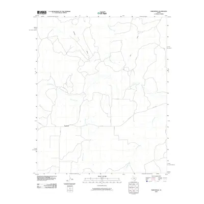
2010 Map of Northfield
USGS Topo · Published 2010About this map
Northfield serves as the primary focal point of this West Texas landscape, situated at the intersection of several regional routes in Motley County. The settlement is positioned west of the braided channels of Bitter Lake Creek and south of the significant waterway of the North Pease River. The surrounding terrain is defined by named landforms such as Housetop, Price, and Canyon, indicating a topography carved by the drainage systems of Chainey Mountain Creek and Joe Lake Creek. This 2010 survey illustrates a rural environment where ranching and agricultural life are supported by a network of state and local roads, including FM 94 and Ranch Rd 84. The map provides a precise look at the hydrology of the Rolling Plains, showing how seasonal watercourses have shaped the local geographic nomenclature.
Find a feature on this map
17 named features on this map. Tap any name to fly to it.
Don’t see what you’re looking for? This feature index may not catch every label — zoom into the map to look around manually.
Map Details
Editions of this 2010 Northfield Map
This is the sole edition of this map. No revisions or reprints were ever made.
Other maps of this area

1954 · Plainview
USGS Topo · 1:250,000

1958 · Plainview
USGS Topo · 1:250,000

1966 · Fields Canyon
USGS Topo · 1:24,000

1966 · Cee Vee
USGS Topo · 1:24,000

1967 · Tell South
USGS Topo · 1:24,000

1967 · Tell North
USGS Topo · 1:24,000

1967 · Cottonwood Camp
USGS Topo · 1:24,000

1967 · Badger Nest Tank
USGS Topo · 1:24,000

1967 · Turtle Hole Camp
USGS Topo · 1:24,000

1967 · Northfield
USGS Topo · 1:24,000