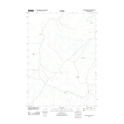
2012 Map of Nostrum Mountain
USGS Topo · Published 2012About this map
Nostrum Mountain dominates this portion of the Wyoming landscape, where the High Plains meet the rugged drainage basins of Hot Springs County. The area is defined by a complex network of seasonal watercourses and natural springs, including Little Eagle Springs and Big Eagle Spring, which have historically served as vital water sources in this arid environment. Evidence of localized ranching and land use is anchored by Red Canyon Ranch in the northwest, situated near where Dry Cottonwood Cr joins the larger Red Canyon Cr system. The topography transitions from the dramatic Potato Butte Draw to the broad Minnesela Slope, illustrating the varied geological formations that characterize this segment of the Bighorn Basin's southern reaches. Local infrastructure is minimal, consisting of rural routes such as Red Canyon Rd and Johnson Dr that navigate the draws and slopes.
Find a feature on this map
16 named features on this map. Tap any name to fly to it.
Don’t see what you’re looking for? This feature index may not catch every label — zoom into the map to look around manually.
Map Details
Editions of this 2012 Nostrum Mountain Map
This is the sole edition of this map. No revisions or reprints were ever made.
Other maps of this area

1951 · Boysen
USGS Topo · 1:24,000

1951 · Mexican Pass
USGS Topo · 1:24,000

1951 · Morrison Canyon
USGS Topo · 1:24,000

1955 · Thermopolis
USGS Topo · 1:250,000

1958 · Thermopolis
USGS Topo · 1:250,000
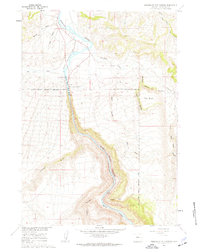
1960 · Wedding Of The Waters
USGS Topo · 1:24,000

1960 · Thermopolis
USGS Topo · 1:24,000

1962 · Thermopolis
USGS Topo · 1:250,000
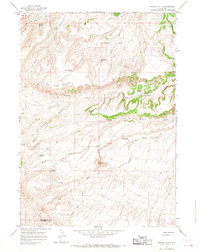
1965 · Potato Butte
USGS Topo · 1:24,000
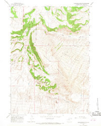
1965 · Nostrum Mountain
USGS Topo · 1:24,000