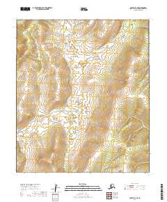
2019 Map of Nulato B-1 SE
USGS Topo · Published 2019About this map
The U.S. Geological Survey documented this interior Alaskan landscape in 2019, revealing a wilderness defined by its complex topography and natural hydrology. The terrain is marked by significant elevation changes, with contours illustrating a series of ridges and valleys that transition between T13s R13e and T13s R14e. This region of the Yukon-Koyukuk Census Area is largely unpopulated, containing no named settlements or man-made structures on this specific quadrangle. Instead, the map serves as a detailed record of the drainage patterns and land divisions within T14s R13e and T14s R14e. For researchers and land managers, it provides a precise baseline of the physical geography and township boundaries in a remote portion of the Alaskan interior during the early twenty-first century.
Find a feature on this map
4 named features on this map. Tap any name to fly to it.
Don’t see what you’re looking for? This feature index may not catch every label — zoom into the map to look around manually.
Map Details
Editions of this 2019 Nulato B-1 SE Map
This is the sole edition of this map. No revisions or reprints were ever made.
Other maps of this area

1945 · Nulato
USGS Topo · 1:250,000

1951 · Nulato
USGS Topo · 1:250,000

1951 · Ruby
USGS Topo · 1:250,000

1952 · Nulato B-1
USGS Topo · 1:63,360

1952 · Ruby B-6
USGS Topo · 1:63,360

1952 · Ruby A-6
USGS Topo · 1:63,360
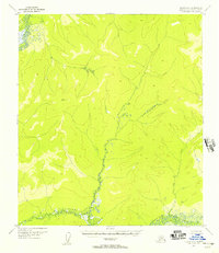
1952 · Nulato A-1
USGS Topo · 1:63,360

1952 · Nulato
USGS Topo · 1:250,000

1952 · Ruby
USGS Topo · 1:250,000
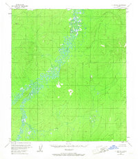
1953 · Nulato B-1
USGS Topo · 1:63,360