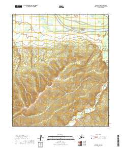
2019 Map of Nulato C-2 SW
USGS Topo · Published 2019About this map
Kala Slough dominates the northern reaches of this landscape, carving through a complex network of wetlands in the Yukon-Koyukuk Census Area. This region, characterized by its intricate hydrology, shows the meandering paths of Kala Cr and Galena Cr as they weave through the low-lying terrain. The absence of roads or permanent settlements highlights the wilderness character of this area near the Yukon River corridor. The map provides a precise look at the township and range divisions, including t10s r9e and t11s r10e, which are essential for land tenure research and understanding the systematic surveying of the Alaskan interior. This study of the drainage patterns and elevation contours offers a clear perspective on the natural state of the land as it appeared in the early twenty-first century.
Find a feature on this map
8 named features on this map. Tap any name to fly to it.
Don’t see what you’re looking for? This feature index may not catch every label — zoom into the map to look around manually.
Map Details
Editions of this 2019 Nulato C-2 SW Map
This is the sole edition of this map. No revisions or reprints were ever made.
Other maps of this area

1945 · Nulato
USGS Topo · 1:250,000

1951 · Nulato
USGS Topo · 1:250,000

1952 · Nulato B-2
USGS Topo · 1:63,360

1952 · Nulato C-3
USGS Topo · 1:63,360

1952 · Nulato C-2
USGS Topo · 1:63,360

1952 · Nulato B-3
USGS Topo · 1:63,360

1952 · Nulato
USGS Topo · 1:250,000
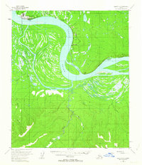
1953 · Nulato C-2
USGS Topo · 1:63,360

1964 · Nulato
USGS Topo · 1:250,000
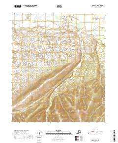
2017 · Nulato C-3 SE
USGS Topo · 1:25,000