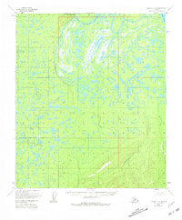
1952 Map of Nulato C-3
USGS Topo · Published 1981About this map
The Yukon River defines the northeastern corner of this subarctic landscape, where it interacts with a complex network of wetlands and shifting channels. The Pilot Mountain Slough cuts across the northern terrain, creating a significant waterway that separates the main river from the low-lying interior. Central to the topography is Pilot Mountain, a prominent high point marked by a vertical angle bench mark that provides a rare firm anchor amidst the surrounding marshes. This 1952 aerial study, later revised by the Geological Survey and the Bureau of Land Management, reveals the winding course of Bishop Creek as it drains the southern hills. The intricate patterns of lakes and swamps between Kinkaid Creek and the river illustrate the dynamic nature of this drainage basin before modern developments altered the Alaskan interior.
Find a feature on this map
6 named features on this map. Tap any name to fly to it.
Don’t see what you’re looking for? This feature index may not catch every label — zoom into the map to look around manually.
Map Details
Editions of this 1952 Nulato C-3 Map
4 editions found
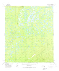
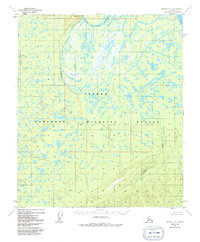
Other maps of this area

1945 · Nulato
USGS Topo · 1:250,000

1951 · Nulato
USGS Topo · 1:250,000

1952 · Nulato D-3
USGS Topo · 1:63,360

1952 · Nulato B-2
USGS Topo · 1:63,360

1952 · Nulato C-3
USGS Topo · 1:63,360

1952 · Nulato C-2
USGS Topo · 1:63,360

1952 · Nulato C-4
USGS Topo · 1:63,360

1952 · Nulato D-4
USGS Topo · 1:63,360

1952 · Nulato D-2
USGS Topo · 1:63,360

1952 · Nulato B-3
USGS Topo · 1:63,360