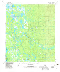
1954 Map of Nulato D-2
USGS Topo · Published 1983About this map
The Yukon River dominates the southwestern corner of this 1950s interior Alaskan landscape, where the shifting waters create a complex network of channels and landforms including Johnson Slough, Serpentine Island, and Lark Island. This region, later incorporated into the Innoko National Wildlife Refuge, is defined by its extensive wetlands and drainage systems. Numerous waterways such as Bear Creek, Whakatna Creek, and Beaver Creek meander through the terrain, illustrating the hydrologic patterns of the Nulato quadrangle before later environmental changes. The southern edge of the map reveals the Galena Corporate Boundary, providing a precise look at the early administrative limits of the area. Much of the sheet remains largely undeveloped, showcasing the raw geography of the Alaska interior during the mid-20th century.
Find a feature on this map
12 named features on this map. Tap any name to fly to it.
Don’t see what you’re looking for? This feature index may not catch every label — zoom into the map to look around manually.
Map Details
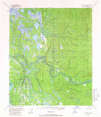
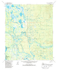
Editions of this 1954 Nulato D-2 Map
3 editions found
Other maps of this area

1945 · Nulato
USGS Topo · 1:250,000

1951 · Nulato
USGS Topo · 1:250,000

1951 · Kateel River
USGS Topo · 1:250,000

1952 · Nulato C-1
USGS Topo · 1:63,360

1952 · Nulato D-1
USGS Topo · 1:63,360

1952 · Kateel River A-2
USGS Topo · 1:63,360

1952 · Nulato D-3
USGS Topo · 1:63,360

1952 · Kateel River A-1
USGS Topo · 1:63,360

1952 · Nulato C-3
USGS Topo · 1:63,360

1952 · Nulato C-2
USGS Topo · 1:63,360