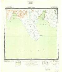
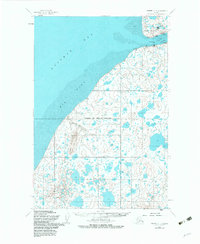
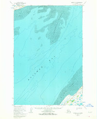
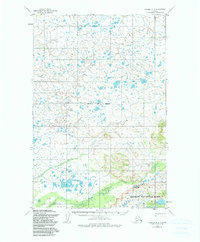
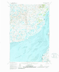
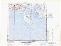
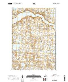
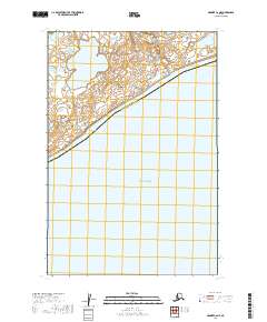
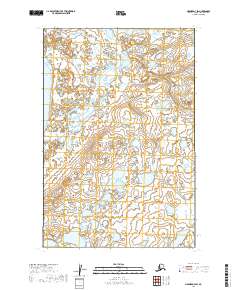
1949 Map of Nushagak Bay
USGS Topo · Published 1949About this map
Nushagak Bay and its surrounding estuaries appear here as a hub of the Alaskan salmon industry during the late 1940s. The map highlights the essential maritime economy of the Bristol Bay region, marking numerous commercial outposts such as Nushagak Cannery, Igushik Cannery, and the Old Saltery. These sites, along with settlements like Kanakanak and Clarks Point, represent the human footprint on a landscape defined by shifting tides and river mouths.
Find a feature on this map
35 named features on this map. Tap any name to fly to it.
Don’t see what you’re looking for? This feature index may not catch every label — zoom into the map to look around manually.
Map Details
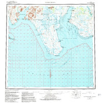
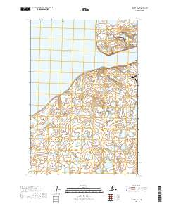
Editions of this 1949 Nushagak Bay Map
2 editions found
Historical Maps of Dillingham Through Time
25 maps found

1945 Nushagak Bay
Bristol Bay Borough, AK

1949 Nushagak Bay
Bristol Bay Borough, AK
1951 Nushagak Bay
Bristol Bay Borough, AK
1952 Naknek C-2
Bristol Bay Borough, AK
1952 Naknek C-3
Bristol Bay Borough, AK
1952 Naknek C-4
Bristol Bay Borough, AK
1952 Naknek C-5
Bristol Bay Borough, AK
1952 Naknek D-2
Bristol Bay Borough, AK

1952 Naknek D-3
Bristol Bay Borough, AK
1952 Naknek D-4
Bristol Bay Borough, AK
1964 Nushagak Bay
Bristol Bay Borough, AK
2019 Naknek C-2 NE
Bristol Bay Borough, AK
2019 Naknek C-2 NW
Bristol Bay Borough, AK
2019 Naknek C-3 NE
Bristol Bay Borough, AK
2019 Naknek C-3 NW
Bristol Bay Borough, AK
2019 Naknek C-4 NE
Bristol Bay Borough, AK
2019 Naknek C-4 NW
Bristol Bay Borough, AK
2019 Naknek C-5 NW
Bristol Bay Borough, AK
2019 Naknek C-6 NE
Bristol Bay Borough, AK
2019 Naknek D-2 SE
Bristol Bay Borough, AK
2019 Naknek D-2 SW
Bristol Bay Borough, AK
2019 Naknek D-3 SE
Bristol Bay Borough, AK
2019 Naknek D-3 SW
Bristol Bay Borough, AK
2019 Naknek D-4 SE
Bristol Bay Borough, AK
2019 Naknek D-4 SW
Bristol Bay Borough, AK