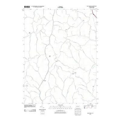
2010 Map of Oak Forest
USGS Topo · Published 2010About this map
Oak Forest and the surrounding rural landscape of Greene County are defined by a complex network of ridges and narrow valleys at the turn of the 21st century. The map shows small settlements like Spraggs and Gump connected by winding roads such as Kirby Rd and Woods Rd, which follow the natural contours of the land. This area is characterized by its numerous small burial grounds, including the White Cemetery in the north and the Lemley Cemetery to the southeast, often situated on high ground or near creek confluences. Drainage patterns are dominated by Whiteley Creek and its many tributaries, such as Shannon Run and Rudolph Run, which have carved the deep hollows seen throughout the quadrangle. Significant elevation points like Brant Hill overlook the intersection of Smith Creek and Roberts Run, illustrating how the terrain dictated the placement of local homesteads and transport routes.
Find a feature on this map
93 named features on this map. Tap any name to fly to it.
Don’t see what you’re looking for? This feature index may not catch every label — zoom into the map to look around manually.
Map Details
Editions of this 2010 Oak Forest Map
This is the sole edition of this map. No revisions or reprints were ever made.
Other maps of this area

1901 · Waynesburg
USGS Topo · 1:62,500

1904 · Blacksville
USGS Topo · 1:62,500

1904 · Waynesburg
USGS Topo · 1:62,500

1905 · Mannington
USGS Topo · 1:62,500

1905 · Rogersville
USGS Topo · 1:62,500

1923 · Blacksville
USGS Topo · 1:62,500

1923 · Mannington
USGS Topo · 1:62,500

1925 · Blacksville
USGS Topo · 1:62,500

1926 · Mannington
USGS Topo · 1:62,500

1949 · Clarksburg
USGS Topo · 1:250,000