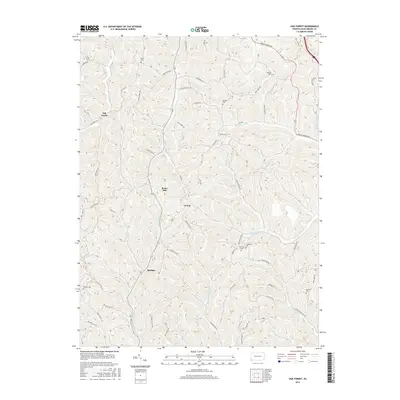
2016 Map of Oak Forest
USGS Topo · Published 2016About this map
The ridge-and-valley landscape of Greene County is defined here by the winding course of Whiteley Cr and its numerous tributaries. Small settlements such as Oak Forest and Spraggs serve as local hubs for a network of country roads that follow the steep contours, including Strawn Hill Rd and Bluff Ridge Rd. The area's history is preserved in several small family or community burial grounds, such as White Gem and Gordon Cem, which are tucked away on high ground above Pursley Cr and Laurel Run.
Find a feature on this map
70 named features on this map. Tap any name to fly to it.
Don’t see what you’re looking for? This feature index may not catch every label — zoom into the map to look around manually.
Map Details
Editions of this 2016 Oak Forest Map
This is the sole edition of this map. No revisions or reprints were ever made.
Other maps of this area

1901 · Waynesburg
USGS Topo · 1:62,500

1904 · Blacksville
USGS Topo · 1:62,500

1904 · Waynesburg
USGS Topo · 1:62,500

1905 · Mannington
USGS Topo · 1:62,500

1905 · Rogersville
USGS Topo · 1:62,500

1923 · Blacksville
USGS Topo · 1:62,500

1923 · Mannington
USGS Topo · 1:62,500

1925 · Blacksville
USGS Topo · 1:62,500

1926 · Mannington
USGS Topo · 1:62,500

1949 · Clarksburg
USGS Topo · 1:250,000