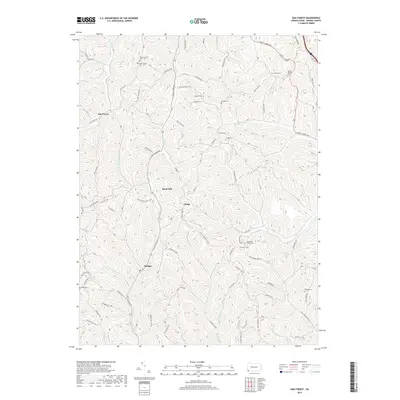
2019 Map of Oak Forest
USGS Topo · Published 2019About this map
The ridge-and-valley topography of Greene County is on display in this modern survey, defined by the winding course of Smith Cr and its many tributaries. The area maintains a rural, dispersed settlement pattern centered on small communities like Oak Forest and Spraggs. Genealogical interest is particularly high here, as the map preserves the locations of numerous family and community burial grounds, including the White Church Cem - Old and White Church Cem - New sites near White Church. Historic transit corridors remain visible through the modern landscape, most notably the Warrior Trail and the Warrior/Catawba Trail, which follow the high ground above drainages like Whiteley Cr and Rudolph Run. The naming of local features like Brant Hill and Dark Hollow reflects a long history of local land use and family ownership in this corner of Pennsylvania.
Find a feature on this map
85 named features on this map. Tap any name to fly to it.
Don’t see what you’re looking for? This feature index may not catch every label — zoom into the map to look around manually.
Map Details
Editions of this 2019 Oak Forest Map
This is the sole edition of this map. No revisions or reprints were ever made.
Other maps of this area

1901 · Waynesburg
USGS Topo · 1:62,500

1904 · Blacksville
USGS Topo · 1:62,500

1904 · Waynesburg
USGS Topo · 1:62,500

1905 · Mannington
USGS Topo · 1:62,500

1905 · Rogersville
USGS Topo · 1:62,500

1923 · Blacksville
USGS Topo · 1:62,500

1923 · Mannington
USGS Topo · 1:62,500

1925 · Blacksville
USGS Topo · 1:62,500

1926 · Mannington
USGS Topo · 1:62,500

1949 · Clarksburg
USGS Topo · 1:250,000