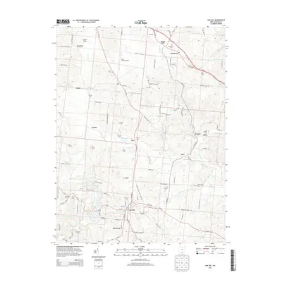
2013 Map of Oak Hill
USGS Topo · Published 2013About this map
Oak Hill serves as the primary hub in this southern Ohio landscape, situated where Oh-279 and Oh-93 intersect. The area is densely populated with family and community burial grounds, such as Horeb Cem, Price Cem, and Congregational Cem, offering a detailed map for genealogical research. To the north, the terrain transitions toward Franklin Valley and Rocky Hill, while the James A Rhodes Airport provides a modern landmark among the traditional rural road networks.
Find a feature on this map
118 named features on this map. Tap any name to fly to it.
Don’t see what you’re looking for? This feature index may not catch every label — zoom into the map to look around manually.
Map Details
Editions of this 2013 Oak Hill Map
This is the sole edition of this map. No revisions or reprints were ever made.
Other maps of this area

1905 · Wilkesville
USGS Topo · 1:62,500

1906 · Bidwell
USGS Topo · 1:62,500

1908 · Bidwell
USGS Topo · 1:62,500

1908 · Wilkesville
USGS Topo · 1:62,500

1912 · Oak Hill
USGS Topo · 1:62,500

1913 · Jackson
USGS Topo · 1:62,500

1944 · Jackson
USGS Topo · 1:62,500

1947 · Columbus
USGS Topo · 1:250,000

1957 · Huntington
USGS Topo · 1:250,000

1960 · Huntington
USGS Topo · 1:250,000