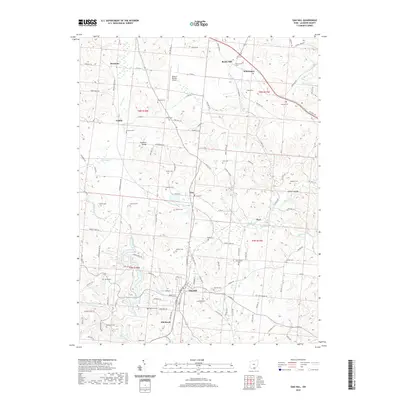
2019 Map of Oak Hill
USGS Topo · Published 2019About this map
The village of Oak Hill serves as the central hub of this Jackson County landscape, situated at the confluence of several local routes like W Main St and E Main St. The surrounding terrain is defined by a dense concentration of small family and community burial grounds, including the Congregational Cem, McNeal Cem, and Zoar Cem, which offer significant value for genealogical research in this part of Southern Ohio. To the north, the James A Rhodes Airport stands near small settlements like Keystone and Camba. The map also reveals a history of industrial activity, evidenced by labels such as Mining Haul Rd and the presence of wetlands like Baker Swamp and Cackley Swamp. These water features, alongside Symmes Cr and Black Fork, illustrate the natural drainage patterns that have shaped the development of communities like Winchester and Pyro over the decades.
Find a feature on this map
87 named features on this map. Tap any name to fly to it.
Don’t see what you’re looking for? This feature index may not catch every label — zoom into the map to look around manually.
Map Details
Editions of this 2019 Oak Hill Map
This is the sole edition of this map. No revisions or reprints were ever made.
Other maps of this area

1905 · Wilkesville
USGS Topo · 1:62,500

1906 · Bidwell
USGS Topo · 1:62,500

1908 · Bidwell
USGS Topo · 1:62,500

1908 · Wilkesville
USGS Topo · 1:62,500

1912 · Oak Hill
USGS Topo · 1:62,500

1913 · Jackson
USGS Topo · 1:62,500

1944 · Jackson
USGS Topo · 1:62,500

1947 · Columbus
USGS Topo · 1:250,000

1957 · Huntington
USGS Topo · 1:250,000

1960 · Huntington
USGS Topo · 1:250,000