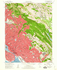
1959 Map of Oakland East
USGS Topo · Published 1960About this map
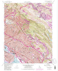
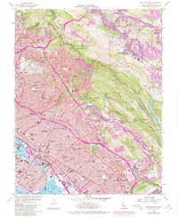
The urban footprint of the East Bay is seen here in a period of significant post-war expansion, with the densely developed corridors of Oakland, Berkeley, and Piedmont pushing against the ridge lines of the East Bay Hills. This 1959 survey captures the region's complex geography, from the Oakland Inner Harbor and Tidal Canal to the expansive parklands of Redwood Regional Park and Joaquin Miller Park. The map preserves the historic land divisions of the San Antonio (A M Peralta) and V and D Peralta grants, anchoring the modern grid to its Spanish rancho roots.
Find a feature on this map
111 named features on this map. Tap any name to fly to it.
Don’t see what you’re looking for? This feature index may not catch every label — zoom into the map to look around manually.
Map Details
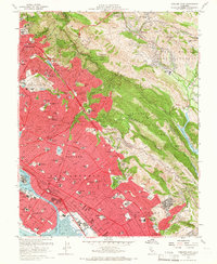
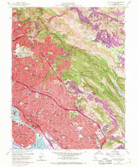
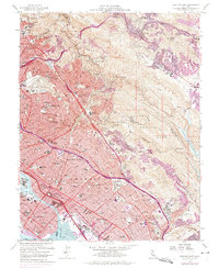
Editions of this 1959 Oakland East Map
6 editions found
Other maps of this area

1892 · San Mateo
USGS Topo · 1:62,500

1895 · San Francisco
USGS Topo · 1:62,500

1896 · San Mateo
USGS Topo · 1:62,500

1897 · Concord
USGS Topo · 1:62,500

1899 · San Francisco
USGS Topo · 1:62,500

1899 · Haywards
USGS Topo · 1:62,500

1899 · San Mateo
USGS Topo · 1:62,500

1915 · San Mateo
USGS Topo · 1:62,500

1915 · Haywards
USGS Topo · 1:62,500

1915 · Concord
USGS Topo · 1:62,500