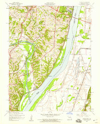
1954 Map of Oakville
USGS Topo · Published 1959About this map
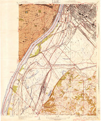
Jefferson Barracks and its sprawling National Cemetery dominate the riverside bluffs where the Mississippi River meets the confluence of the Meramec River. This mid-century survey captures a landscape of Catholic institutions and developing residential pockets, with Nazareth Convent and St Francis of Assisi Sch serving the community of Oakville. The rail-and-river geography is evident along the Meramec, where the St Louis San Francisco railroad connects the smaller settlements of Ten Brook and Arnold.
Find a feature on this map
65 named features on this map. Tap any name to fly to it.
Don’t see what you’re looking for? This feature index may not catch every label — zoom into the map to look around manually.
Map Details
Editions of this 1954 Oakville Map
4 editions found
Other maps of this area

1888 · St. Louis
USGS Topo · 1:62,500

1910 · Waterloo
USGS Topo · 1:62,500

1912 · Kimmswick
USGS Topo · 1:62,500

1913 · Waterloo
USGS Topo · 1:62,500

1916 · Kimmswick
USGS Topo · 1:62,500

1933 · Jefferson Barracks
USGS Topo · 1:24,000

1933 · Cahokia
USGS Topo · 1:24,000

1933 · Kirkwood
USGS Topo · 1:24,000

1934 · Cahokia
USGS Topo · 1:24,000
1940 · Cahokia
USGS Topo · 1:24,000